Easy summer heat this year? Here’s what you need to know


Image: AI-Skymet
The summer of 2025 has taken a surprising turn. Typically known for scorching heat and long spells of dry weather, this season has instead seen a cooler-than-usual trend, especially in May — a month that usually sizzles. Across India, from the northern plains to the southern peninsula, temperatures have remained in check and widespread rainfall has been the norm.
Where’s the Heat?
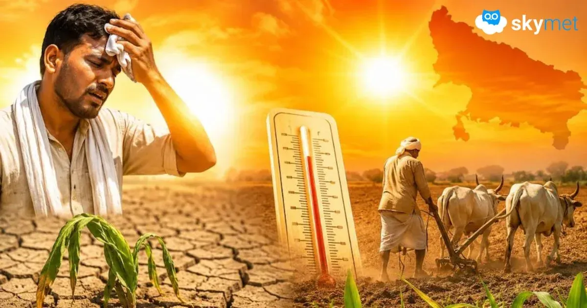
So far, most of the country has escaped the extreme heat that usually defines this time of year. Between March and mid-May, there have been no record-breaking temperature spikes. While regions like Gujarat and Rajasthan did see short heatwave episodes in April, the overall impact has been minimal. Even the Core Heatwave Zone — which includes Central, North, and Peninsular India and is known for intense summer heat — has largely remained calm this year.
May 1 remains the only day this month when a heatwave was observed, and even then, it was confined to small parts of southwest Rajasthan.
Rain, Thunderstorms, and Cooler Days
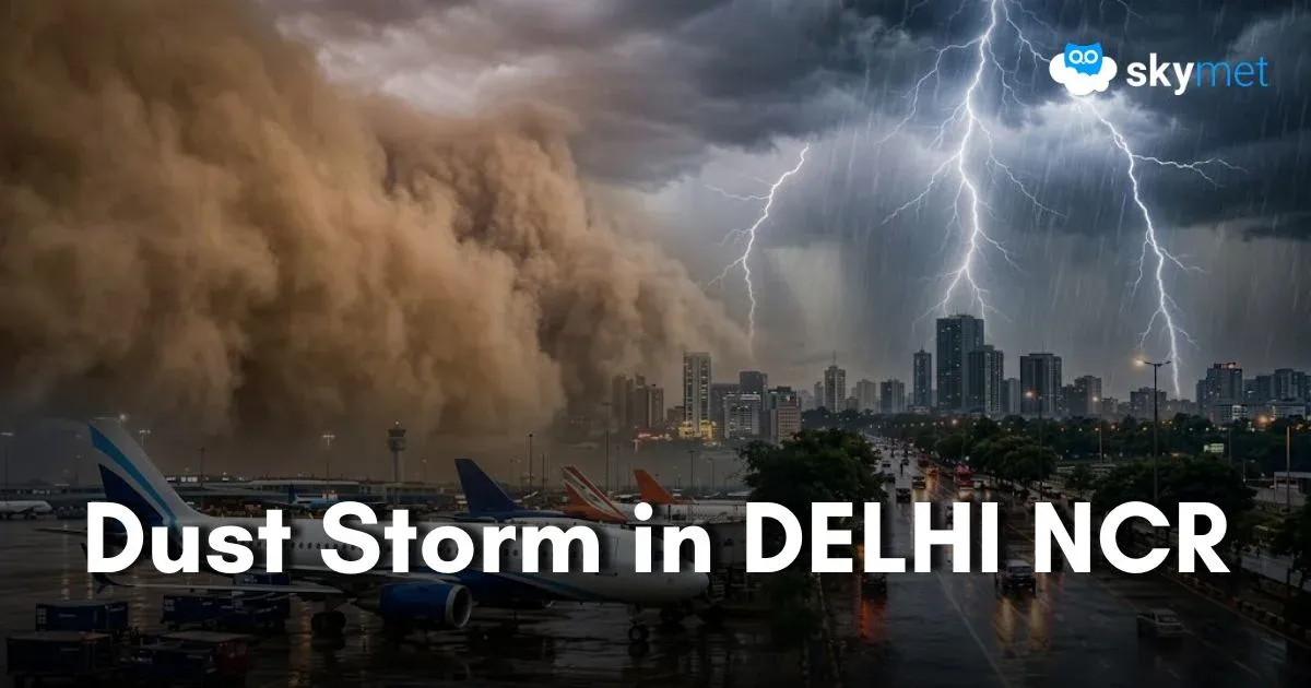
Instead of blistering sun, this summer has brought rainclouds. May has been unusually wet in many areas, particularly across South and Central India. Back-to-back western disturbances — weather systems that typically originate over the Mediterranean — swept through India in early and mid-May. These disturbances triggered widespread thunderstorms, heavy rain, and even hail in places.
This unusual weather pattern affected states like Rajasthan, Madhya Pradesh, Gujarat, Haryana, Delhi, West Bengal, Kerala, Tamil Nadu, and Uttarakhand. The rainfall not only quenched the land but also significantly lowered maximum temperatures — in some areas, by as much as 5 to 7 degrees Celsius.
As a result, weekly rainfall between May 2 and May 8 was 20% above average nationwide. The following week (May 8–14) saw a 35% surplus, with the rain continuing over the Northeast, Central India, and the western coast.
What’s Causing This?
Several overlapping factors have created this cooler and wetter summer. Most notably:
A steady stream of western disturbances has moved at lower latitudes than usual, allowing them to impact a broader swath of India.
Continuous moisture inflow from both the Bay of Bengal and Arabian Sea has fueled thundershowers.
The interaction of moist winds with existing weather systems has led to regular rain events and cloud cover — both of which naturally suppress daytime temperatures.
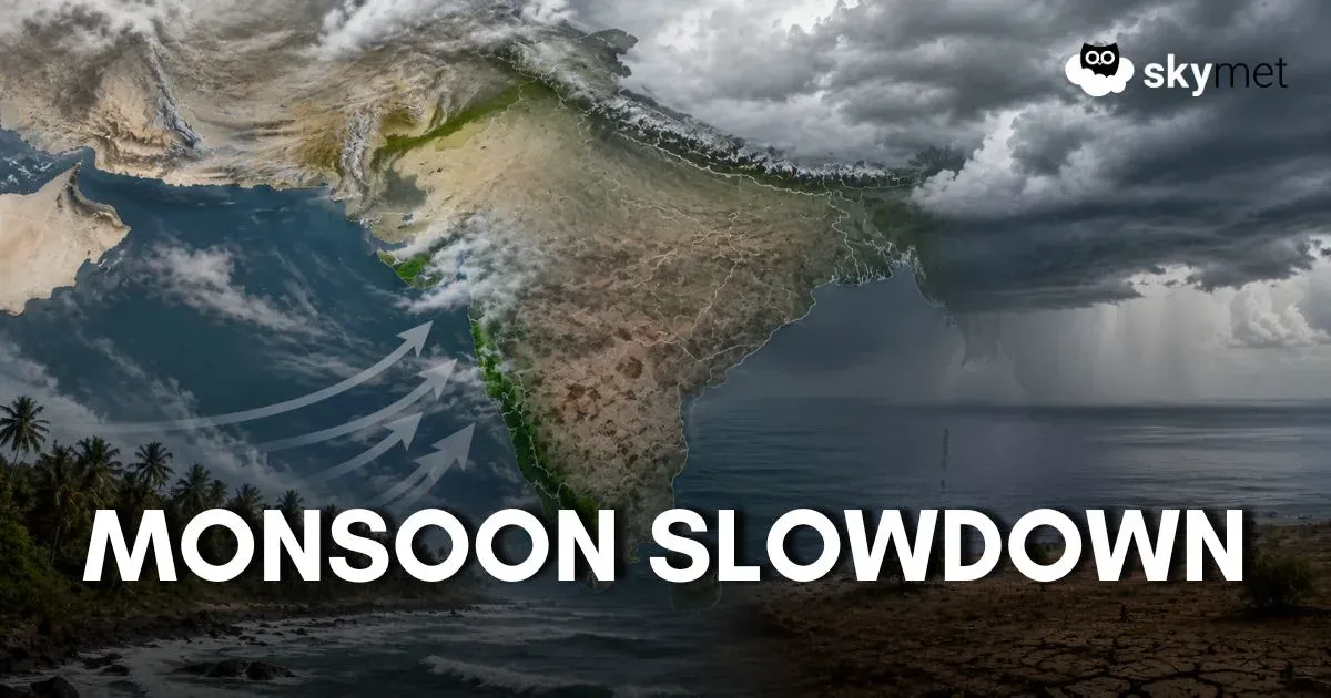
What’s Next?
Despite the relatively mild summer so far, there is a chance that the heat could make a comeback before June. Areas in Northwest India, including Rajasthan and Haryana, may see heatwave conditions until May 23. However, with the southwest monsoon expected to reach Kerala around May 27, earlier than usual, the hot spell may not last long.
If conditions remain favourable, the monsoon may advance smoothly and could potentially arrive early in other parts of the country as well.
For now, the summer of 2025 stands out as a season of surprises, more thunder than thirst, more showers than sizzle.