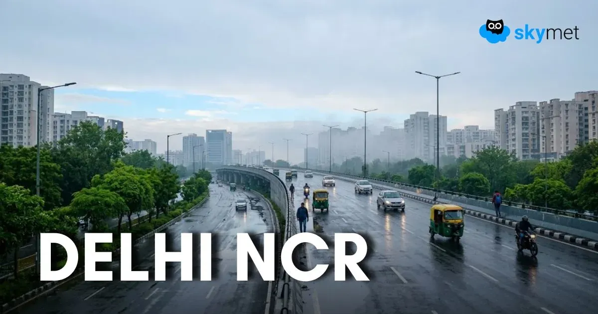
The Science Behind Cyclones – Formation, Structure, and Stages

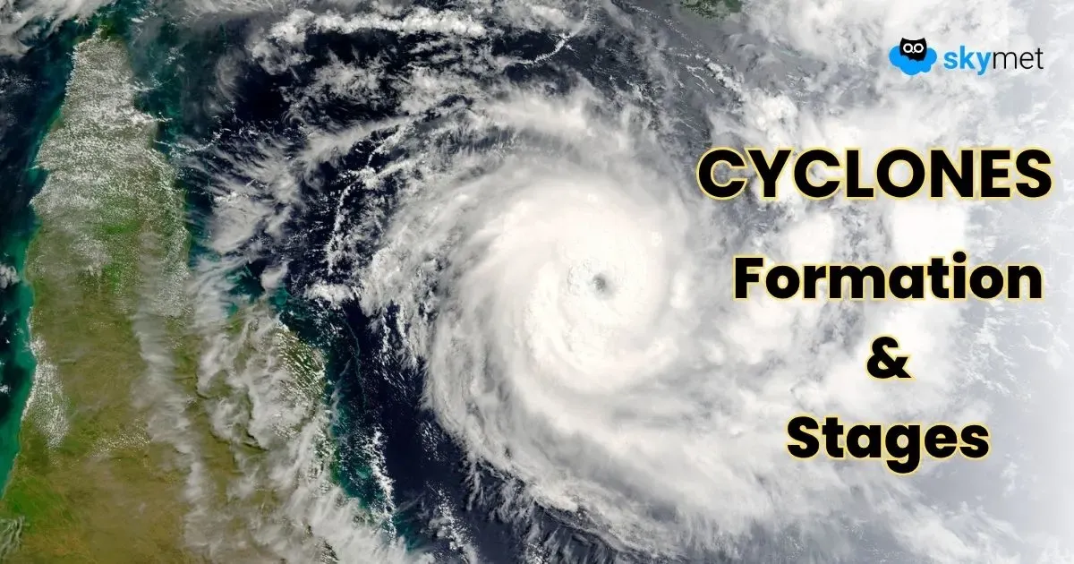
Image: AI-Skymet
Cyclones don’t form by chance. They are born when specific atmospheric and oceanic conditions align. Fuelled by warm seas, rising air, and Earth’s rotation, these storms build from small disturbances into massive systems of wind and rain.
The Key Ingredients to create a cyclone were,
- Warm Ocean Water: A minimum of 26.5°C (80°F) water is required to provide the heat and moisture that fuel the storm.
- Low-Pressure Centre: Warm, moist air over the ocean heats up and rises, creating an area of low pressure near the surface.
- Spinning Air: The air that rushes in to fill the low-pressure void is then warmed and rises, and the Coriolis effect (due to Earth's rotation) causes it to start spinning.
How Does a Cyclone Form?
A cyclone forms over warm ocean waters when warm, moist air rises, creating a low-pressure area. The surrounding, cooler air rushes in to replace it, gets heated by the ocean, and rises, starting a continuous cycle of rising air and falling pressure. The Earth's rotation then causes this spinning air mass to spiral inward, growing stronger and faster. This rotating storm can develop into a tropical depression, a tropical storm, and finally a tropical cyclone, characterized by strong winds and heavy rain.
The Anatomy of a Cyclone
Cyclones are not just chaotic storms — they have a calm centre called “the Eye.” In this part, the weather is calm, and the skies may even look clear. But this calm is surrounded by great danger. The most destructive part of a cyclone is the “Eyewall.” It is a ring of giant thunderstorms and clouds that circle the eye. Here, the winds are the strongest, and the rain is the heaviest. Surrounding the eyewall are “Rainbands.” These are long, spiral-shaped bands of clouds and thunderstorms that stretch far from the centre. They can bring heavy rain and strong, gusty winds, often even before the main cyclone arrives.
Stages of Development
A cyclone's life cycle is broken down into four distinct stages based on its wind speed:
- Tropical Disturbance: This is the birth of the storm. It's a large, unorganized cluster of thunderstorms with slight rotation and minimal wind speed. It's too weak to be considered a threat, but it is the first sign of potential cyclogenesis.
- Tropical Depression: The system becomes more organized, and a clear low-pressure centre forms. Wind speeds increase to between 37 km/h and 62 km/h. At this stage, it's still not a significant danger, but meteorologists start to track it more closely as it has a high potential to intensify.
- Cyclonic Storm (Tropical Storm): Once sustained wind speeds exceed 62 km/h, the system is officially named. The storm's organization improves, and it begins to take on the familiar circular shape seen in satellite images. The inner core starts to develop, and the threat of heavy rainfall and gusty winds becomes more prominent.
- Severe Cyclonic Storm (Hurricane/Typhoon): This is the final and most dangerous stage. Wind speeds soar past 119 km/h, and the storm develops a well-defined eye and eyewall. At this point, the storm is a major threat to life and property, and coastal communities must take immediate action to prepare for its arrival.
Cyclones may appear sudden, but their birth and growth follow a precise sequence of natural forces working in harmony. By understanding the science behind their formation, structure, and life cycle, communities and individuals can better anticipate their behaviour and reduce their impact. Modern forecasting tools and early-warning systems are built on this very knowledge, turning scientific insight into real-world protection against one of nature’s most powerful storms.
Read Next →