Cyclone Landfall Explained: What Happens When Powerful Storms Hit Land

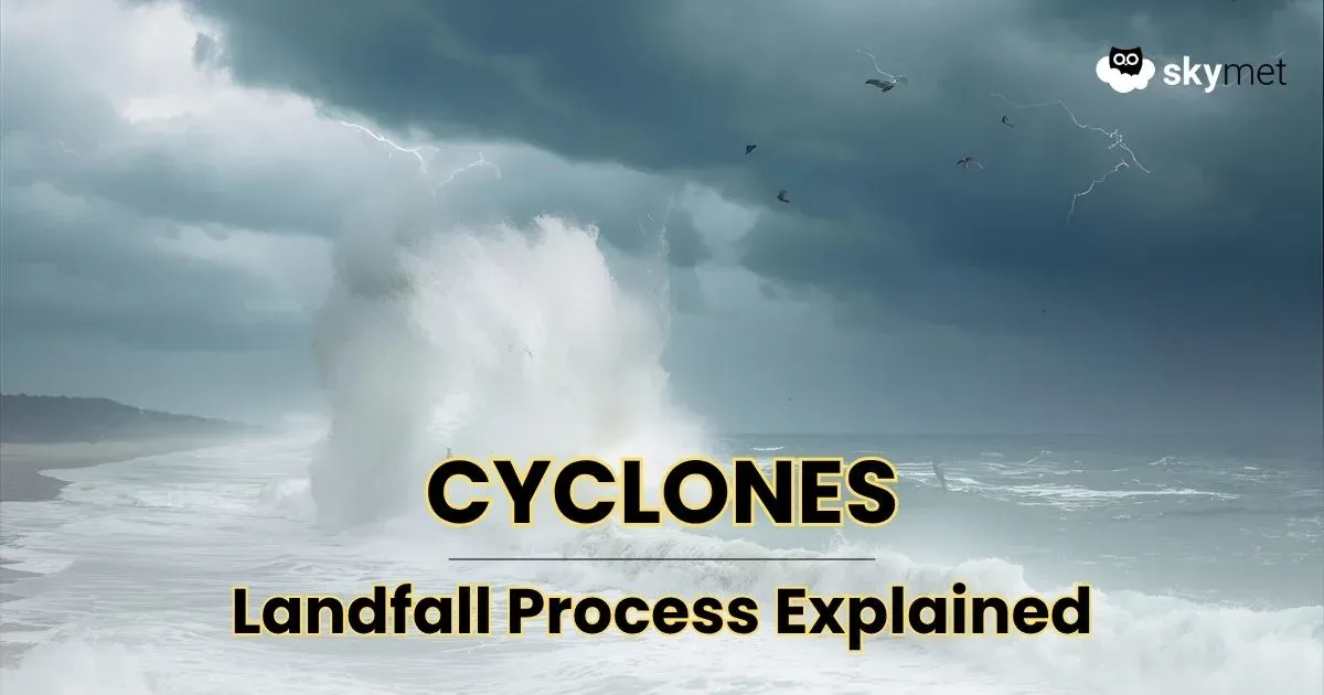
Cyclone making landfall on India’s coastline with storm surges, heavy rain, and strong winds | Image: AI-Skymet
Cyclones are among the most powerful natural systems on Earth, and their impact intensifies when they make landfall, the point at which the storm’s center moves from the sea onto land. For India, with its 7,500 km-long coastline and proximity to the Bay of Bengal and Arabian Sea, landfall science is particularly significant.
What Happens During Landfall?
Loss of Ocean Energy Source
- Cyclones draw about 90% of their energy from warm ocean waters.
- Once on land, this source is cut off, and cyclones usually weaken within 6–24 hours after landfall.
- Example: Cyclone Fani (2019) lost nearly 50% of its wind intensity within 12 hours after striking Odisha.
Friction Slows Wind Speeds
- Over the ocean, winds face little resistance, often exceeding 150–200 km/h in severe cyclones.
- On land, surface friction with trees, buildings, and terrain slows them down but still causes destructive gusts.
- Example: During Cyclone Amphan (2020), winds weakened from 185 km/h to about 100 km/h within hours of landfall in West Bengal.
Release of Enormous Energy
- Despite weakening, cyclones unleash intense rainfall, storm surges, and flooding.
- Storm Surge Facts: · Even a moderate cyclone can push sea levels up by 2–5 meters, inundating low-lying coastal areas. · In 1999, the Odisha Super Cyclone created a surge of over 7 meters, devastating entire districts.
Rainfall Facts:
- Landfalling cyclones can dump 200–400 mm of rain in 24 hours, triggering urban floods and river overflows.
- Example: Cyclone Tauktae (2021) brought >300 mm rainfall in Gujarat in just one day.
Why Is the Bay of Bengal Called the ‘Nursery of Cyclones’?
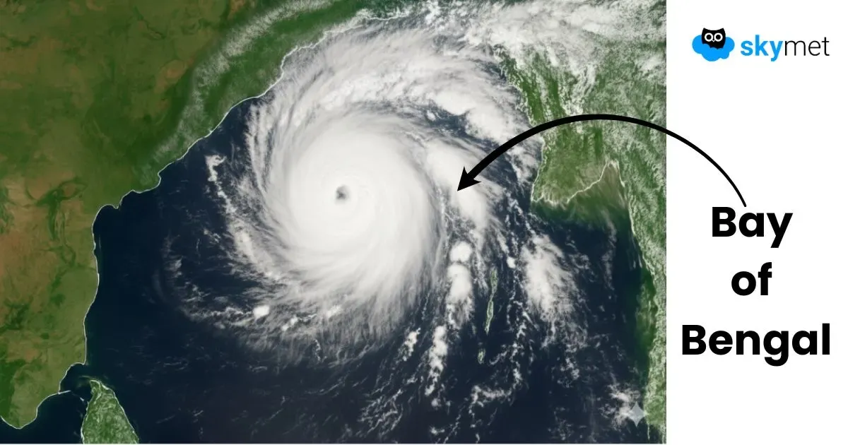
Satellite image of a powerful cyclone forming over the Bay of Bengal, moving towards the eastern coast of India | Courtesy: AI-Skymet
The Bay of Bengal has earned the moniker "Nursery of Cyclones" for a very good reason. It is responsible for generating a significant portion of all tropical cyclones in the North Indian Ocean.
- Warm Waters: The Bay is a semi-enclosed basin with a large influx of freshwater from rivers, which creates a low-salinity surface layer that heats up quickly. This provides abundant energy for storms.
- Monsoon Trough: The Bay is a natural basin for the monsoon trough, a low-pressure area that serves as a breeding ground for cyclonic disturbances.
- Favourable Topography: The surrounding landmasses help to funnel winds and moisture into the Bay, aiding in cyclogenesis.
In contrast, the Arabian Sea, while it also produces cyclones, sees fewer of them, partly due to its cooler waters in the northern parts and stronger wind shear.
Cyclone Seasons in India
Cyclones in India generally form during two distinct periods, or "seasons."
- Pre-Monsoon Season (April-June): As temperatures rise and the summer heat builds, the oceans warm up, creating conditions ripe for cyclone formation.
- Post-Monsoon Season (October-December): After the monsoon retreats, the atmosphere becomes more stable, and the warm ocean temperatures persist, leading to a second, often more intense, cyclone season.
Historically, the post-monsoon period in October and November has been responsible for some of the most devastating cyclones to hit the Indian subcontinent.
How Devastating Can a Cyclone Be?
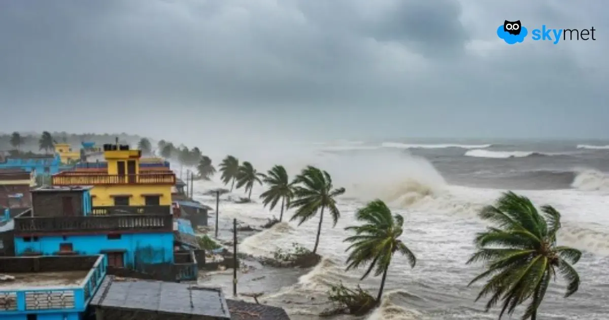
Seawater pushed inland during a cyclone storm surge, flooding coastal houses and trees in India | Image: AI-Skymet
A cyclone's devastation comes from three primary threats: high-speed winds that can destroy infrastructure, torrential rainfall leading to widespread flooding, and, most lethally, a storm surge, which is a wall of seawater pushed ashore by the storm's powerful winds. The combination of these factors can be catastrophic. We've now followed a cyclone to the shore, understanding the violent science of landfall and why India's coastline, particularly near the Bay of Bengal, is so vulnerable. Knowing the devastating potential of these storms is critical, but how do we know when one is coming? In the next post of our series, we'll explore the cutting-edge technology and international collaboration used to forecast, track, and issue life-saving warnings for these immense storms. Read Next →


