Typhoon WIPHA Across West Pacific, First Break-In-Monsoon Likely By Month End
Rains from Typhoon WIPHA pounded Hong Kong on Sunday, as the storm skirted southwestwards before making landfall on the coast of China’s Guangdong province. Nearly 500 flights were rescheduled or cancelled at Hong Kong. Scores of people sought refuge in the temporary shelters. Hong Kong’s weather authorities have since downgraded the typhoon warning, as it has weakened to a tropical storm. The storm is still relatively well-organised, with well-defined convective bands wrapping into an obscure low-level cyclonic circulation centre. The environment is marginally favourable with very warm sea surface temperature and strong outflow, offset by moderate shear. The storm will stay for some time in the Gulf of Tonkin today before making landfall in Vietnam, quite likely early morning tomorrow.

The tropical storm WIPHA will start weakening after striking the coast of Vietnam. Terrain friction and entrainment due to the proximity of the coastline will degrade the storm rapidly. The system is likely to become a depression over northern parts of Laos. Moving further westward, the storm will weaken into a low-pressure area over Thailand and the Myanmar region. The remnants of this system will move across mainland Myanmar and finally enter into the Bay of Bengal on 23–24 July 2025. Since the model accuracy becomes low in confidence after about four days, the timelines of this system may have to be reviewed.
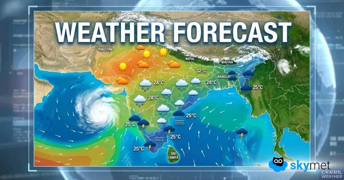
As of now, after the remnant of the storm travels to the Bay of Bengal, the circulation will get energized. A strong monsoon system is expected to evolve over the North Bay of Bengal. The best prognostication, as available now, indicates track of the system along the Indo-Gangetic plains. In due course, movement of this system will shift the monsoon trough along the foothills. All this will happen by the fag end of this month. At the cost of repetition, it is stated again that the forecast will get reviewed after about 72 hours.
If the models behave the way as projected now, the shift of the monsoon trough may lead to ‘break-in-monsoon’, commencing end of this month. In such cases, the rainfall belt shifts all along the foothills of Himalayas and Northeast India. There are isolated pockets over mainland, as well, which witness uptick in weather activity. That part will be deliberated later this week. As of today, the first ‘break’ of the season may extend to the first week of August 2025.
La Nina Update: Too Early To Confirm La Nina During Northern Hemisphere Winters


