

Depression Over Jharkhand: Heavy Rains Over Bihar - Jharkhand - Uttar Pradesh - Chhattisgarh

Key Takeaways:
- The monsoon depression is expected to weaken while moving northwestward across Jharkhand and Bihar.
- The ongoing spell may help prevent a further deterioration in rainfall distribution across some rain-deficit areas.
- Heavy rainfall is likely to shift towards Uttar Pradesh, North Madhya Pradesh and the Uttarakhand foothills between August 21 and 23.
- Increased rainfall along the foothills of Bihar and East Uttar Pradesh may raise the risk of localized flooding this week.
- Forecast Validity: Next 3 to 5 days.
Advertisement
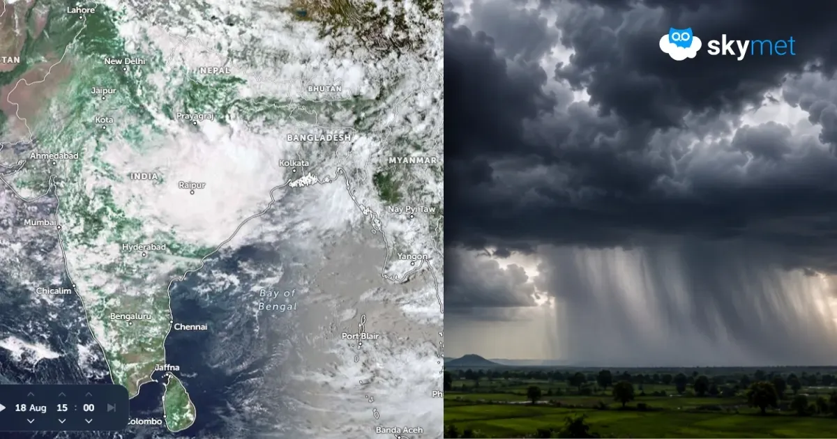
The depression over West Bengal moved northwestward and is now lying over Jharkhand and adjoining parts of Bihar. It is centred northeast of the Ranchi-Jamshedpur axis. As the system moves further northwest, the proximity of the foothills and rugged terrain will weaken it into a low-pressure area, meandering over the same region. Unlike the previous systems, the depression will track along Jharkhand, Bihar, East Madhya Pradesh and East Uttar Pradesh. It is unlikely to reach deep into the central and western parts of the country.
Advertisement
Bihar, Jharkhand, East Uttar Pradesh and East Madhya Pradesh are the rain-deficit sub-divisions. The highest rainfall deficiency over the plains has been witnessed by Bihar, right from the start of the monsoon season. There has been some recovery over East Uttar Pradesh and Bihar, but these two pockets have still been flagged for a persistent shortfall. The current spell may at least arrest any further worsening of rainfall distribution. On the contrary, an increase in rainfall along the foothills of Bihar and East Uttar Pradesh may lead to localized flooding during this week.
The weather system will persist as a tightly closed circulation for the next three days. Heavy rainfall is likely over Odisha, West Bengal, Jharkhand and North Chhattisgarh. The weakened system will extend as an east-west trough across the plains of Bihar and Uttar Pradesh, with bubbles of embedded circulation between 21st and 23rd August 2026. Heavy rains are likely over Uttar Pradesh, North Madhya Pradesh and the foothills of Uttarakhand. As this system weakens over the Indo-Gangetic plains, fresh low pressure is likely to come up over the Northwest Bay and coastal parts of West Bengal and Odisha. The weather activity will continue over the eastern states during the next week as well.
The broader heavy-rain signal is consistent with IMD's August 18 outlook, which forecast significant rainfall over Jharkhand, Bihar, East Madhya Pradesh, Uttar Pradesh, Odisha and adjoining regions as the depression moves west-northwestwards and weakens.
Trending:



