

Heavy Rain-Thundershowers Over Delhi: Wet Spell To Continue Till Mid-Week Next

Key Takeaways:
- Lodi Road recorded 60.4 mm, Safdarjung 59.2 mm and Ridge 57 mm of rainfall during the past 24 hours.
- Safdarjung has accumulated 127 mm of rainfall so far in August after receiving heavy showers for two consecutive days.
- Light to moderate showers are expected over Delhi and its suburbs on August 9 and 10, with intermittent monsoon activity continuing till August 13.
- A lean weather phase is likely after August 13, potentially providing better conditions for Independence Day festivities.
- Forecast Validity: Next 5 to 7 days.
Advertisement
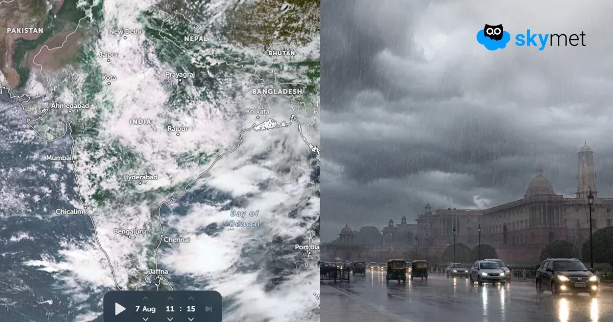
Delhi region received widespread rain and thundershowers during the past 24 hours. Lutyens' Delhi faced the brunt and witnessed the heaviest monsoon showers of the last couple of weeks. Safdarjung, Lodi Road and Ridge recorded 59.2 mm, 60.4 mm and 57 mm of rainfall, respectively. Palam Observatory had 16.9 mm of rainfall during this period. Most other observatories registered rainfall amounts varying between 25 and 30 mm. The base station, Safdarjung, received heavy showers for the second consecutive day and has accumulated 127 mm of rainfall so far this month. More showers are likely during the weekend and the start of next week. However, the weather conditions will improve towards the later part of the day and remain relatively better during the weekend as well.
Advertisement
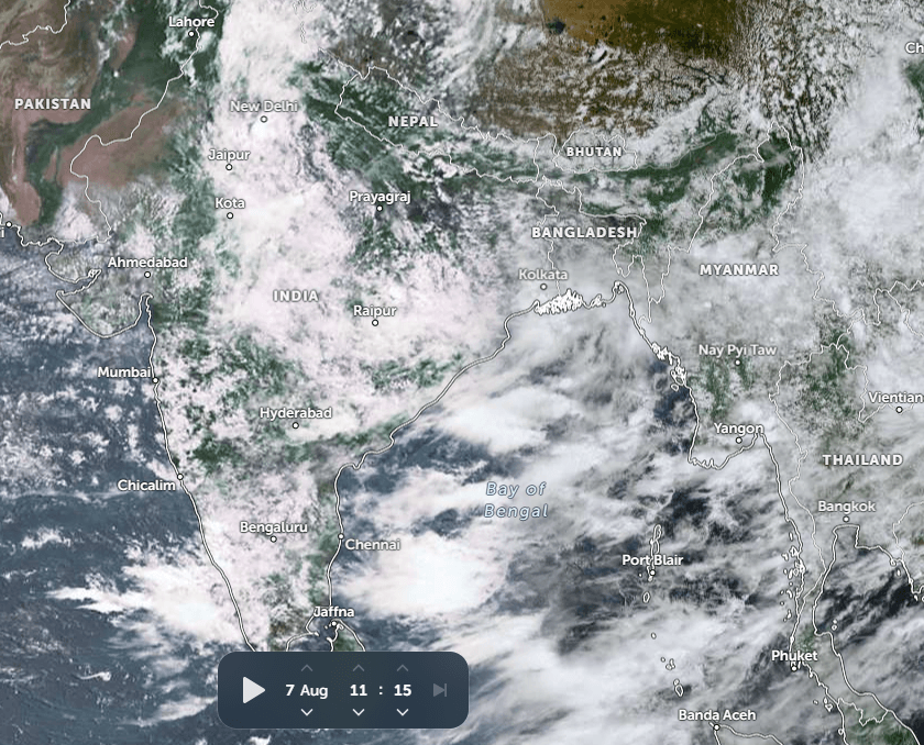
The monsoon trough is the main trigger for Delhi around this time. The east-west oriented feature has been oscillating frequently, moving from south to north and vice versa. Proximity of the trough, aided by the Western Disturbance across the mountains, has accentuated the monsoon activity, more so over the last two days.
There is a cyclonic circulation over Southwest Uttar Pradesh in the low and mid-levels. Courtesy of this circulation, the trough has been pulled south of Delhi. The trough is passing through Ganganagar, Gwalior, Sidhi and further eastward to dip into the Bay of Bengal. Low-level winds have reversed yet again to become easterly. Accordingly, the low clouds and rain patches will drift from east to west. This position of the circulation and trough will be retained for the next two days. Delhi and suburbs can expect light to moderate showers during this period, 09th and 10th Aug 2026.
The existing circulation will weaken and merge with the seasonal trough. The trough will again get back to the north of the capital city, but remain in close vicinity. In the meantime, the existing circulation over the Jharkhand region will move eastward and park somewhere over Northwest Madhya Pradesh and adjoining Uttar Pradesh between 11th and 12th Aug. This will be the time for the trough to oscillate yet again and shift south of Delhi. This frequent up-and-down movement of the trough is keeping the monsoon activity going for the Delhi region. This weather pattern will facilitate cloudy skies, embedded with rain patches, lashing most parts of the capital city with typical monsoon showers. As it looks, the activity will continue with different shades of intensity and spread for the next few days, between 07th and 13th Aug. A lean period is expected thereafter, which may go on for a few days. That will also facilitate the hosting of festive activities for the 80th Independence Day.
Trending:



