Heavy Rainfall Over Madhya Pradesh- Uttar Pradesh Likely

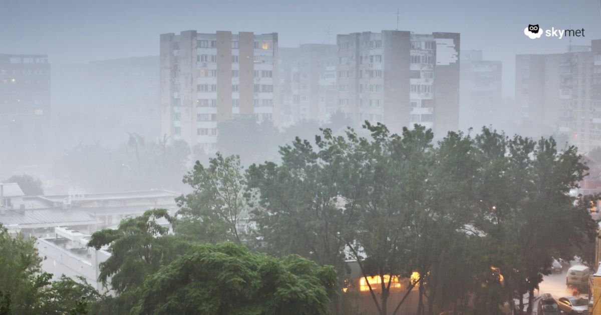
The Southwest Monsoon has been active to vigorous over parts of Madhya Pradesh and Uttar Pradesh. Heavy rainfall in some pockets was recorded over the Bundelkhand region of Madhya Pradesh and Uttar Pradesh. More heavy rainfall is likely over these parts and will spread to the neighbouring districts as well. The peripherals of this weather activity will intrude into parts of East Rajasthan on the west side and many parts of Vidarbha on the south side, sharing borders with Madhya Pradesh.
The low-pressure area over central Uttar Pradesh has weakened. However, the associated cyclonic circulation extends to medium levels. There is another cyclonic circulation likely over Gangetic West Bengal and adjoining parts in the next 48 hours. This may turn into a low-pressure area later. As a precursor to this, a trough is marked over the region.
An axis of east-west winds is joining the above two features, which is running across the borderline between Uttar Pradesh and Madhya Pradesh. As a result, a convergence zone is marked over the Bundelkhand region of Uttar Pradesh and Madhya Pradesh.
La Nina Update: La Nina May Follow ENSO-Neutral During Fall Of Year
Heavy to very heavy rainfall is expected over parts of Uttar Pradesh and Madhya Pradesh. North and central parts of Madhya Pradesh will be more vulnerable to intense weather activity. Contiguous parts of Uttar Pradesh will also run the risk of localized heavy downpours. The stations of Madhya Pradesh will include Guna, Gwalior, Shivpuri, Datia, Bhind, Morena, Tikamgarh, Jabalpur, Satna, Sagar, Damoh, and Khajuraho.
Locations like Agra, Jhansi, Lalitpur, Mahoba, Banda, and Chitrakoot will also be at risk of heavy to very heavy rains. Some of these places in the two states will face the threat and scare of localized flooding over the next 2–3 days. Exercise utmost caution.
