Fresh Snowfall Over Jammu-Kashmir, Himachal Pradesh: More Snow Next Week

Key Takeaways:
- Fresh snowfall continues over mid and higher reaches of the Western Himalayas
- January’s snow deficit has been fully compensated by recent wet spells
- Another active snowfall phase is expected between 8 and 10 February
- Increased aviation turbulence likely at higher altitudes during February
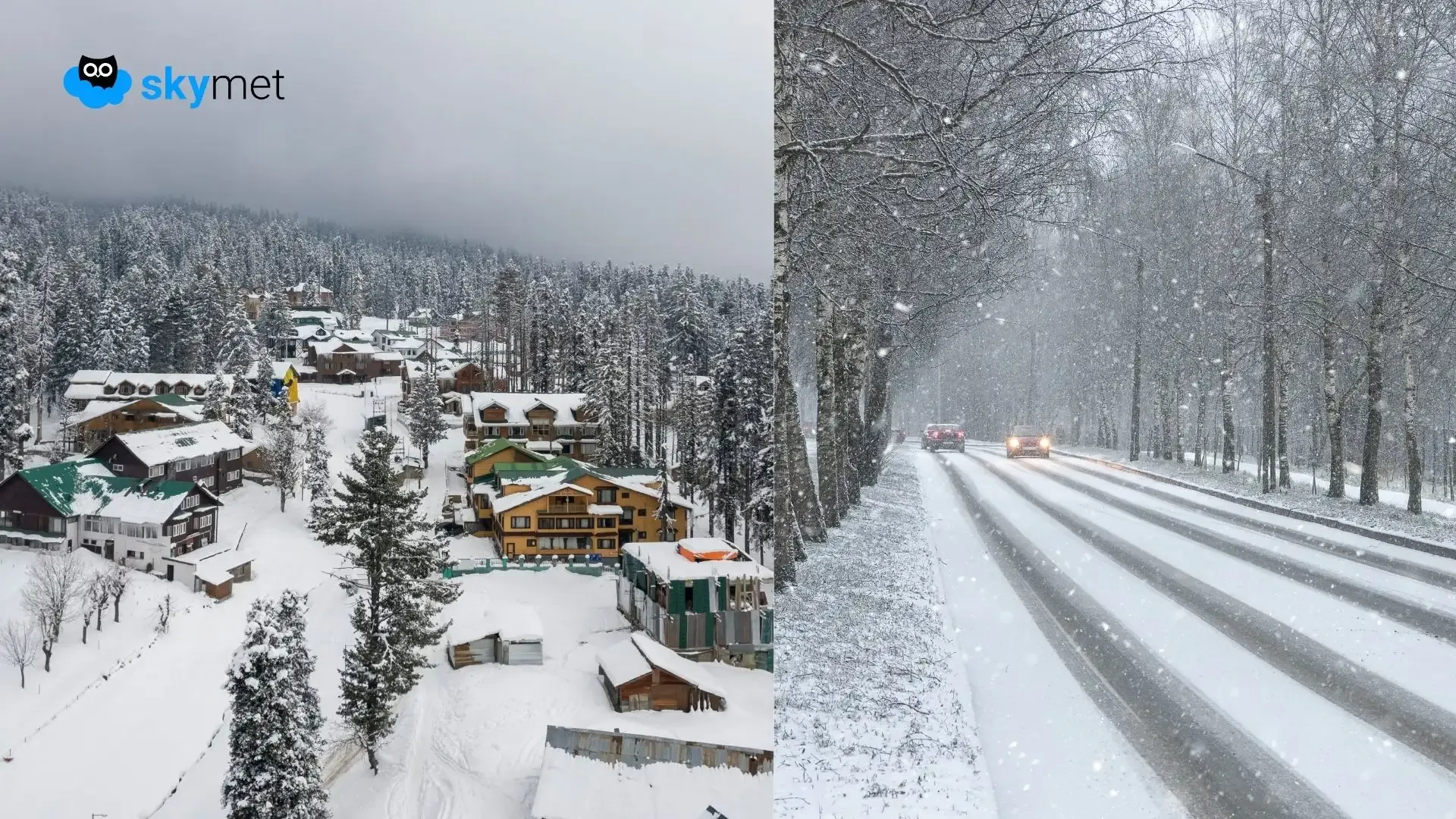
Mid and higher reaches of Jammu & Kashmir, Ladakh, and Himachal Pradesh received fresh snowfall between 2 and 3 February 2026. While the spatial spread of weather activity has been large, the intensity has remained light to moderate. Snowfall activity will continue today and is expected to take a break around mid-week. Another significant spell is likely between 8 and 10 February 2026. In between, a short and light spell is expected on 6 February 2026.
The entire mountain range remained largely barren until the third week of January 2026, with rain and snow deficiency exceeding 90% across the region. A decent wet spell during the last week of January compensated for the deficit and wiped it out. Snowfall activity has continued thereafter, though largely confined to mid and higher reaches. Appreciably heavy snowfall towards the end of January is expected to help sustain rivers, streams, springs, and lakes during the upcoming hot summer months. As the 40-day Chillai Kalan period ended on 31 January, an overall improvement in weather conditions is expected over the Kashmir Valley.
Fresh snowfall has also occurred across high-altitude regions of Manali, Kullu, Chamba, and Lahaul-Spiti. Several parts of Manali district have witnessed continuous snowfall over the last three days, with heavier activity during the past 24 hours. Snowfall will continue today, followed by a brief break. Another round of snowy weather is expected towards the end of this week and may extend into the beginning of next week.
As per the normal seasonal pattern, the frequency of Western Disturbances increases in February, though the duration of each spell becomes shorter. The westerly jet—core of strong winds—shifts southwards to its southernmost position near 25°N and oscillates between 23°N and 28°N. Aviators often experience significant turbulence at higher altitudes above 25,000 feet. This weather hazard becomes more pronounced during February, particularly along the Delhi–Mumbai air corridor. Caution is advised for both flyers and aviators over the next three to four weeks.
