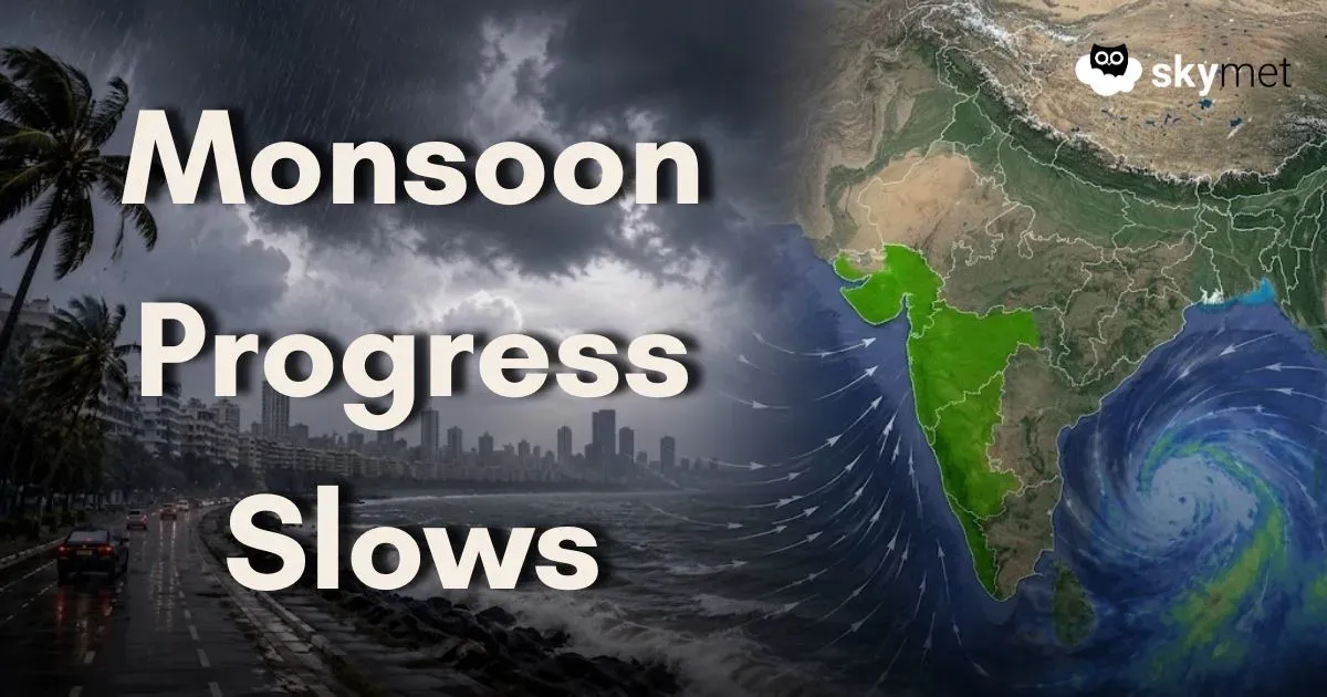
Monsoon Stalls Over West Coast; Mumbai Rains Likely Delayed By Another Week

Representational Image: AI-Skymet
Key Takeaways:
- The Southwest Monsoon has remained stationary over the West Coast since June 8.
- Eastern India has seen better monsoon progress compared to western and central regions.
- Lack of a low-pressure system over the Bay of Bengal is slowing monsoon advancement.
- Mumbai, Konkan and Goa may not witness sustained heavy rainfall for another 7–8 days.
The Southwest Monsoon continues to remain sluggish over the western parts of the country. Although the monsoon reached Kerala on June 4, four days later than its normal onset date of June 1, its initial progress was fairly satisfactory. By June 8, the monsoon had advanced over South Konkan and Goa, as well as parts of South Madhya Maharashtra.
However, since June 8, the western arm of the monsoon has virtually remained stationary. For the last seven days, there has been little or no significant progress of the monsoon over the West Coast. Meanwhile, the eastern branch of the monsoon has shown some movement, advancing into parts of Odisha, Jharkhand, and Bihar on June 15.
Under normal circumstances, by mid-June the monsoon would have covered parts of South Gujarat, most of Maharashtra, sections of South Madhya Pradesh, and nearly half of Chhattisgarh. This indicates that while the monsoon is progressing almost on schedule over eastern India, it is lagging behind over central and western parts of the country.
The primary reason for this sluggish advance is the absence of any significant weather system over the Bay of Bengal. At present, the Bay remains largely calm, with no low-pressure area or depression likely to form during the next several days.
Typically, the development of a low-pressure area or depression over the central Bay of Bengal helps strengthen and pull monsoon currents from the Arabian Sea across Maharashtra, Telangana, and Interior Karnataka. Such systems often trigger an active monsoon phase along the West Coast and accelerate the northward advance of the monsoon.
Unfortunately, weather models do not indicate the formation of any such system over the Bay of Bengal during the next week. As a result, Mumbai and most parts of Konkan and Goa may have to wait for at least another seven to eight days before the monsoon progresses further and establishes a spell of continuous moderate to heavy rainfall.
Until then, rainfall activity over the West Coast is expected to remain scattered and intermittent, with no widespread heavy rain event likely in the immediate future.
Trending:
