Deep Depression Weakens, Heavy Rains To Continue Today And Ease Out Tomorrow


Representational Image: Canva
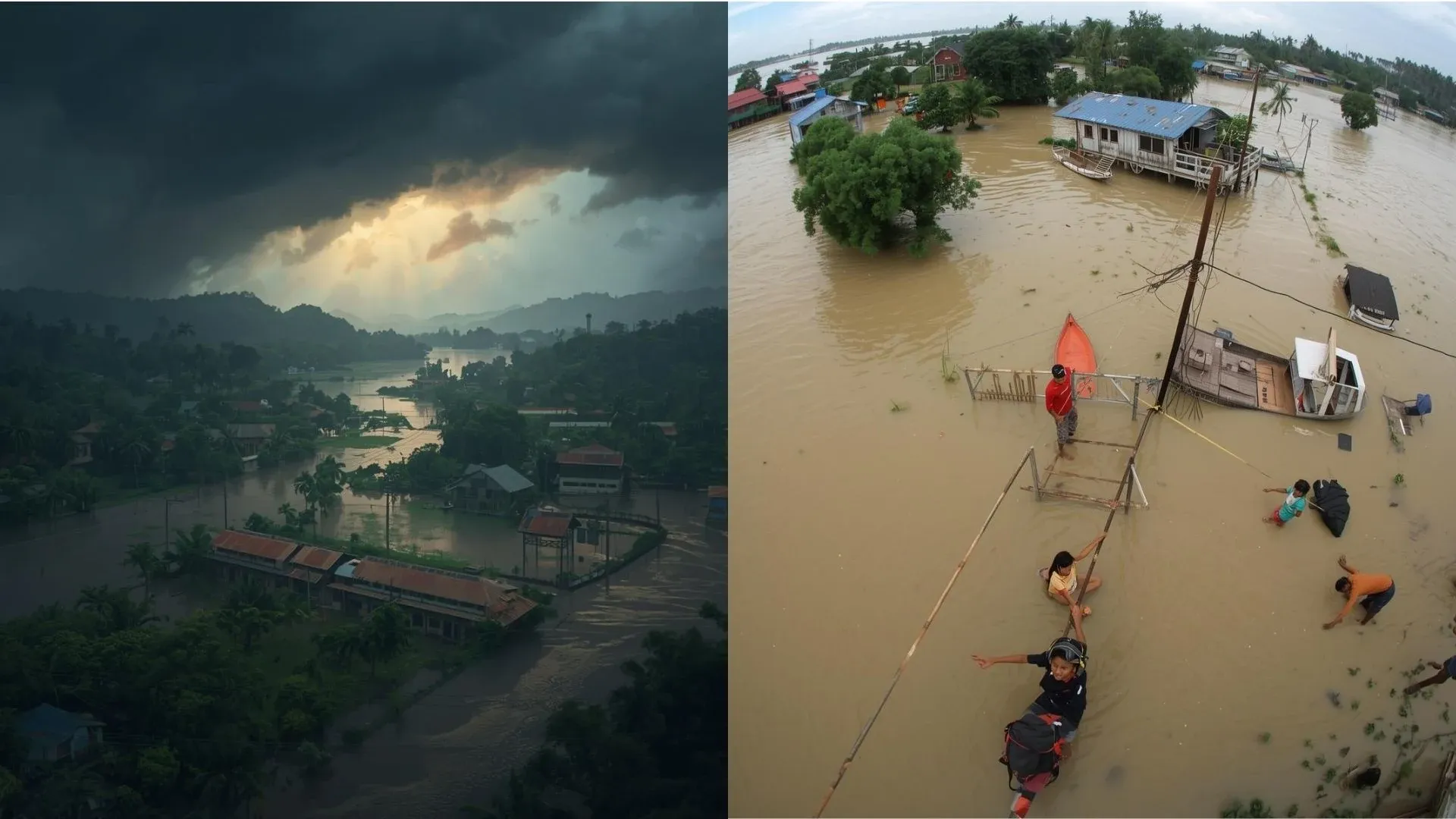
The deep depression over Bangladesh and Gangetic West Bengal moved north-northeast and weakened into a depression. The system is centered around 25°N and 90°E, about 250 km southwest of Shillong. It is likely to move northeastward and weaken into a low-pressure area in the next 12 hours. Significant weather activity will continue over the northeast region for another 24 hours and slow down afterwards in a staggered manner.

Satellite Image, Courtesy: CIMSS
There has been heavy to very heavy rainfall over most parts of Bangladesh in the past 24 hours.
Assam Valley and Meghalaya, located in the left quadrants of the system, have escaped the fury of the system. Yet, there has been isolated heavy to very heavy downpours in the past 24 hours. Sohra, next to Cheerapunji in Meghalaya, recorded a deluge of 217 mm, and Shillong registered 135 mm of rainfall during this period.
Moderate to heavy rains were recorded across the northeast region, covering all states. The heavy rainfall belt will shift today to Upper Assam. Arunachal Pradesh, Meghalaya, and some pockets of Nagaland and Manipur. The rest of the region will register moderate rainfall, embedded with isolated heavy rainfall.
The weather system will weaken to a low-pressure area shortly. However, the complex nature of the terrain will not allow quick clearance of weather activity. Monsoon rains will continue even after the weather system ‘breaks up’ over the hilly terrain. Most of the weather activity will occur in the late evening and night, from tomorrow onwards. During the day, a break in activity is expected in the forenoon and afternoon hours.
The southwest monsoon has already advanced to cover the entire northeastern states, well before time. The movement of this system may take the monsoon current further to reach some parts of Gangetic West Bengal, including the capital city Kolkata. The monsoon limit may encroach on parts of North Bengal, adjacent to sub-Himalayan West Bengal. The monsoon stream may even advance over parts of Bihar, along the foothills.
The eastern end of the monsoon may cover Kishanganj, Araria, Supaul, Madhubani, and adjoining foothills. However, the monsoon will struggle to reach the interior parts like Saharsa, Darbhanga, Patna, Gaya, Aurangabad, Bhabua, and the western parts of the state.
Similarly, the monsoon current will find it hard to cross parts of Jharkhand, bordering regions of West Bengal, East Uttar Pradesh, Chhattisgarh, and East Madhya Pradesh. Only a fresh weather system in the Bay of Bengal will take the monsoon further over these parts.