Twin Monsoon Lows Over Indian Seas: Low Pressure to Form Over Bay of Bengal Soon
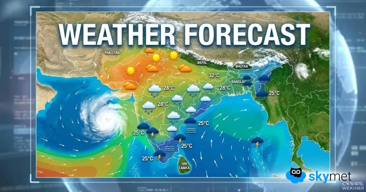
The Arabian Sea is already hosting a low-pressure area. A well-marked low pressure is now marked over the east-central Arabian Sea, off the coastline of Konkan and Goa. Another low pressure is likely to come up over the Bay of Bengal early next week.
Simultaneous appearance of these two systems will trigger a double attack on either side of the Indian coastline. These are the conditions pushing the early monsoon over mainland India very soon.
A cyclonic circulation is likely to form over the east-central Bay of Bengal (BoB) on 25th May 2025. This will get organized further and well marked too in the subsequent 48 hours.
Favorable environmental conditions over the sea will trigger the formation of a low-pressure area over West Central BoB, around 27th May 2025. It is a little too early to prognosticate it further because of the low reliability of model output beyond 4-5 days.
Southwest monsoon onset over Kerala is likely before this low-pressure area settles down over the ocean. Still, the monsoon stream will strengthen and find an early advance over the South Peninsula and Northeast India together.
Normally, the monsoon systems forming over the Bay of Bengal around this time, coinciding with the onset phase, do not travel deep inland over eastern states and central parts of the country. Therefore, after an early onset over northeastern states, further progress may get stalled for some time. A fresh push will be needed to take it further over the hinterland of central India.


