Daily Weather Update for India, March 18: Forecast and Regional Conditions


Representational Image: AI-Skymet
Key Takeaways:
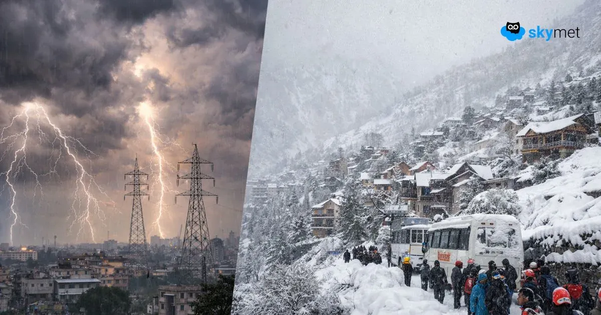
- A fresh Western Disturbance will influence weather across Northwest India from March 17 night.
- Rain and snowfall will continue across the Western Himalayan region until March 20.
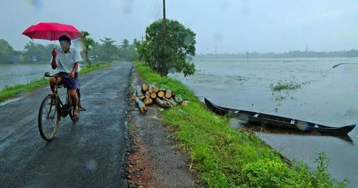
- Northeast India may experience heavy rain spells in the next 24 hours.
- Dust storms and thunderstorms are possible across Rajasthan on March 18.
Weather systems over the country
A cyclonic circulation is present over Haryana and adjoining areas at about 1.5 km above mean sea level.
Another cyclonic circulation is located over Northwest Rajasthan at about 0.9 km above mean sea level.
A cyclonic circulation is also seen over Northwest Uttar Pradesh at about 0.9 km above mean sea level.
A trough extends from North Interior Karnataka to the Gulf of Mannar across South Interior Karnataka and Interior Tamil Nadu at lower levels.
A fresh Western Disturbance is likely to affect Northwest India from the night of March 17.
Weather activity during the last 24 hours
During the last 24 hours, light to moderate rain and snowfall occurred over Himachal Pradesh, Sikkim, and Arunachal Pradesh.
Light rain and thunderstorms occurred over Jammu & Kashmir, Gilgit-Baltistan, Muzaffarabad, Ladakh, Uttarakhand, North Punjab, West Bengal, parts of Jharkhand, Odisha, Telangana, Karnataka, Kerala, South Tamil Nadu, and Andaman & Nicobar Islands.
Light to moderate rain and thunderstorms with a few heavy spells occurred over Northeast India.
Minimum temperatures dropped by 2–3°C across Northwest India.
Weather activity during the next 24 hours:
During the next 24 hours, light to moderate rain with a few heavy spells may continue over Northeast India during the next 24 hours.
Light to moderate rain and snowfall may occur over the Western Himalayan region, including Jammu & Kashmir, Gilgit-Baltistan, Muzaffarabad, Ladakh, Himachal Pradesh, and the upper reaches of Uttarakhand until March 20.
A few heavy spells of rain and snowfall may occur over Jammu & Kashmir, Himachal Pradesh, and Uttarakhand on March 20.
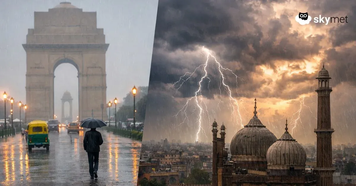
Scattered rain, thunderstorms, and dust storms may occur over parts of Rajasthan on March 18.
Isolated rain and thunderstorms are possible over coastal Odisha, coastal Andhra Pradesh, Kerala, coastal Karnataka, South Konkan & Goa, and Andaman & Nicobar Islands during the next 24 hours.
Isolated to scattered rain and thunderstorms may occur over South Odisha, South Chhattisgarh, parts of Vidarbha, Marathwada, South Madhya Maharashtra, South Interior Karnataka, and Telangana on March 18.
La Nina: Redefined ENSO May Extend La Nina Conditions Beyond Spring Barrier: El Nino Likely During Monsoon
Skymet Exclusive: Risk of Sub-Par Monsoon and drought Over India Rises in 2026