
At present, the axis of Monsoon trough is passing through Amritsar, Ambala, Bareilly, Bahraich, Patna, Dhanbad, Bankura, center of depression and further east-southeastwards to Northeast Bay of Bengal.
As a result, Monsoon remained vigorous over Odisha, while active Monsoon was observed over East and Southern districts of Uttar Pradesh, parts of Madhya Pradesh and West Bengal.
Major rainfall share came from Odisha where, Paradip recorded a hefty amount of 412 mm, followed by Chandbali 193 mm, Cuttack 105 mm and Bhubaneswar 98 mm.
As on September 5, the countrywide cumulative rainfall deficiency has increase to -7%. Division wise, East & Northeast India remains highest rain deficient pocket at -24%, followed by Northwest India at -3% while Central India is rain deficient by 2 percent and South Peninsula is the only rain surplus pocket at 6%.
During the next 24 hours, vigorous Monsoon conditions over North Odisha and Chhattisgarh would give moderate to heavy with isolated very heavy showers over these areas.
Click the image below to see the live lightning and thunderstorm across India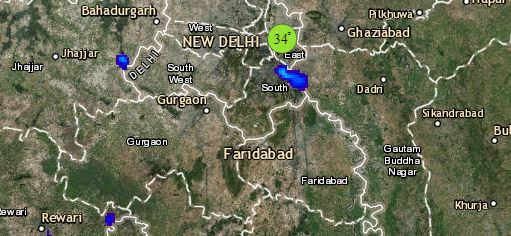
In fact, Monsoon would remain active over Gangetic West Bengal, Jharkhand, Southeast Uttar Pradesh, East Madhya Pradesh, parts of Vidarbha and North Telangana causing light to moderate with isolated heavy showers over these parts.
Meantime, Normal Monsoon conditions will prevail over Sub-Himalayan West Bengal, Assam, Meghalaya, Arunachal Pradesh, Nagaland, Central Uttar Pradesh, Uttarakhand and Himachal Pradesh resulting in light to moderate rains over these areas.
Please Note: Any information picked from here should be attributed to skymetweather.com
