
The Severe Cyclonic Storm Vayu is presently at east-central and adjoining parts of Northeast Arabian Sea and is now moving in North-Northwest direction towards Gujarat coast. Thus, we expect scattered rain and thundershower activities to commence over coastal areas of Gujarat. Places like Somnath, Junagarh, Porbandar, Veraval and Dwarka might witness light to moderate rains.
Whereas, scattered light rains is a possibility over the southern districts particularly Surat, Valsad and Bhavnagar as well as central parts such as Rajkot and Amreli. Weather will be comparatively dry over Marathwada and Vidarbha with chances of isolated rains. Intense rains will impact the city of Mumbai. Whereas, East Madhya Pradesh and Chhattisgarh would see light rains. The temperatures are expected to drop by two to four degrees in Gujarat and parts of South Rajasthan.
Down South, Kerala and Coastal Karnataka would continue to receive light to moderate rains with one or two heavy spells over Mangalore, Madikeri, Karwar in Karnataka and Kurnool, Kozhikode and Kochi in Kerala. Also, scattered light rains are a possibility in Karnataka and North Coastal Andhra Pradesh. Weather of Rayalaseema, Tamil Nadu and Telangana would be almost dry with isolated rains. Whereas, moderate to heavy rains are a possibility over Andaman and Nicobar Islands.
Conditions are now favourable for further advancement of Southwest Monsoon in some more parts of Northeast India as well as Sub-Himalayan West Bengal and Sikkim during next 24 to 48 hours.
At present, a Cyclonic Circulation is over Tripura and adjoining areas. Thus, we expect light to moderate rains with one or two heavy spells over Manipur, Mizoram and Nagaland. Whereas, scattered light to moderate rains will be seen over rest of Northeast India, Sub-Himalayan West Bengal and Sikkim with isolated showers over parts of East Bihar.
Click the image below to see the live lightning and thunderstorm across India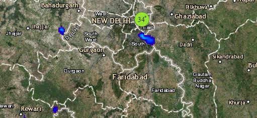
Finally, up in the North, the Western Disturbance is moving away eastward and is being replaced by another fresh Western Disturbance which is over North Pakistan and adjoining areas. A Cyclonic Circulation is over Central Pakistan and a trough from this circulation is extending up to Northeast India.
In the wake of these weather systems, we expect scattered dust storm and thundershowers over Punjab, Haryana, Delhi, Rajasthan with one or two places of Uttar Pradesh. Whereas, scattered rains and thundershowers are a possibility over Jammu and Kashmir, Himachal Pradesh with one or two places of Uttarakhand. There are chances of abatement of heat wave from Delhi and NCR with some parts of Punjab and Haryana.
Any information taken from here should be credited to skymetweather.com
