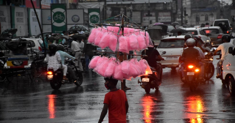
The deep depression over west Central and Northwest Bay of Bengal concentrated into a cyclone. According to the joint typhoon warning centre its name was 04B. After making landfall, it has weakened into a deep depression once again.
At 5:30 hours today on August 20, it was near latitude 22.5 degree north and longitude 86 degree east. It will continue to move across Jharkhand towards North Madhya Pradesh. As the moisture feed from Bay of Bengal has reduced therefore it may weaken into a depression while reaching over Northern parts of Madhya Pradesh.
It has already given heavy rain over parts of Odisha, Jharkhand, Gangetic West Bengal, Chhattisgarh, and parts of Madhya Pradesh. Heavy rain may continue over parts of Odisha Jharkhand and Gangetic West Bengal until evening of August 20. Rain may be very intense over Chhattisgarh and Eastern districts of Madhya Pradesh.
Rain activity may reduce significantly over Gangetic West Bengal, Jharkhand, Odisha, Chhattisgarh, and East Madhya Pradesh but heavy downpour may continue over many parts of Madhya Pradesh.
Places like Narsinghpur, Chhindwara, Raisen, Sehore, Vidisha, Bhopal, Hoshangabad, Harda, Dewas, Shajapur, Vidisha, Sagar and Damoh may receive flooding rain on August 21st and 22nd. East Rajasthan will also start receiving good rain from August 21st.
Weather system may get weakened into a well-marked low over southwest Rajasthan by August 23rd.


