
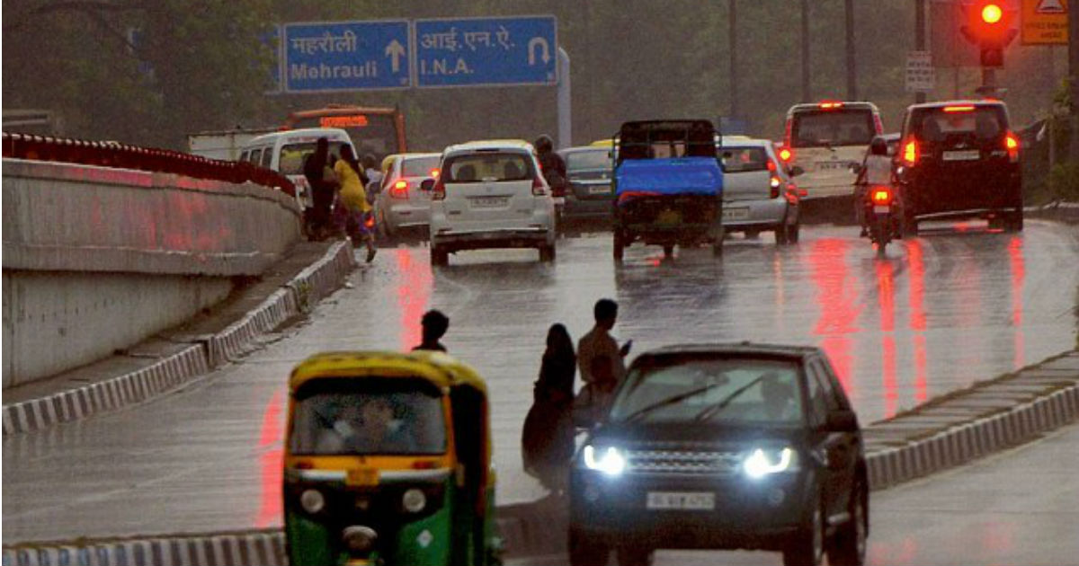
Winters rains have lashed Delhi and adjoining areas of Noida, Faridabad and Gurugam during the last 24 hours. The national capital region has recorded fairly widespread moderate to heavy rains on Thursday, which has shattered decade-old record.
In a span of 24 hours from 8:30 am on Thursday, Safdarjung Observatory has recorded 17.7 mm of rains. With this, Delhi has recorded a total of 34.5 mm of rains in the month so far, which is the highest amount of rainfall recorded in January in last 10 years. Also, the national capital has also surpassed its monthly average rainfall which stands at 19.1 mm.
Meanwhile, rains were more intense over Palam, whose observatory has recorded 21.3 mm of rains yesterday, followed by Ayanagar at 13 mm and Ridge at 12.9 mm. This is not all, Delhi rains are here to stay and we might see one or two more rainy days in the leftover days of the month.
Delhi usually remains weather free during this time of month, with only few spells of winter rains in between. January 2020 is witnessing one of the rainiest spell this time. We can expect another round of rains on January 21, though intensity would be light only.
These rains can be attributed to the passage of an active Western Disturbance over Jammu and Kashmir that had induced a cyclonic circulation over Punjab and adjoining areas. A trough was also extending from this system to Bihar across the northwestern plains. All these weather systems resulted in heavy showers over most parts of the city and adjoining areas.
This recent spell also arrested rise in day maximum and drop in minimum temperatures. On Thursday, Delhi had witnessed day maximum at 16.4, three degrees below normal, while minimum temperatures were at 11.3 degree Celsius that was four degrees above average.
Now both the weather systems have become insignificant, with rains have now vacated Delhi-NCR. In fact, the weather has now clear up with feeble sunshine also making way. In wake of this, minimum temperatures that have been settling above normal, would now once again start dropping.
According to weathermen, wind pattern has already changed from humid southeasterly to cold northwesterly winds. However, due to overnight rains, there is lot of moisture present in the atmosphere which would not let the minimums drop tonight. But from tomorrow, we can expect steep drop in night temperatures that may come down to six degrees.
Maximum temperature are also expected to now increase gradually, bring relief from chilly days which are of more discomfort than chilly nights. Weathermen believe that both cold day and cold wave conditions are not likely to make a comeback over Delhi-NCR.
Cold day conditions are declared when day maximums over the plains settle below 16 degree Celsius, while cold wave is declared when the average night temperature for the certain city in plains is below 10 degrees and is also settling below average by 4-5 degrees.
Image Credit: NDTV
Any information taken from here should be credited to skymetweather.com
