Dry Spell Deepens in the Himalayas; Light Snow Likely as Weak Western Disturbance Approach

Key Takeaways
- Snowfall has been absent in the western Himalayas for nearly a month, an unusual delay for the season.
- Two feeble Western Disturbances may bring light snow to Jammu & Kashmir and Ladakh, but most regions will stay dry.
- The delay in snowfall is affecting agriculture, glacier replenishment, river flow, and winter tourism across the hills.
- Northwest plains are unlikely to see significant winter rain due to weak WDs, resulting in continued dry and cold conditions.
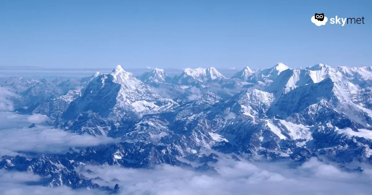
It has been almost a month since the western Himalayan region last witnessed a spell of snowfall. The previous significant rain and snow activity occurred on November 5. This prolonged dry spell is unusual because November typically sees two to three active Western Disturbances (WDs) impacting the hills, bringing periodic rain and snow.
The good news is that two back-to-back but feeble Western Disturbances are now approaching the western Himalayas. These systems are expected to give light rain and snowfall over the upper reaches of Jammu & Kashmir and Ladakh. However, Himachal Pradesh and Uttarakhand are likely to remain mostly dry, as these disturbances lack sufficient moisture and intensity. For now, no active WD is expected for at least the next week.
Why the absence of snowfall is concerning
The delay in snowfall is emerging as a matter of concern for residents of the hilly states. Winter precipitation plays a crucial role in the region’s ecology and economy:
• Horticulture and winter crops in the hills rely on cold weather and timely snowfall for healthy growth.
• Glaciers are replenished by heavy snowfall, maintaining their mass balance.
• Rivers originating from glacier-fed basins depend on accumulated winter snow, ensuring adequate water flow during summer.
Last year too, in 2024, snowfall was delayed and only began around mid-December. A similar pattern appears to be unfolding this year as well.
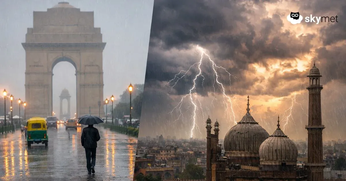
Impact on Northwest Plains
Active Western Disturbances also influence the weather over the northwest plains. Their passage often triggers induced cyclonic circulations that bring winter rain to Punjab, Haryana, Rajasthan, and Delhi NCR. These rains help lower day temperatures and increase moisture levels, which in turn leads to fog formation. Fog reduces visibility and suppresses daytime heat, shaping the classic winter weather pattern of North India.
However, due to the lack of strong Western Disturbances at present, the plains are unlikely to see significant winter rain anytime soon.
Tourism and local livelihoods affected
In the hills, snowfall is not just a weather event—it is the backbone of winter tourism. Hotels, homestays, taxi operators, and local businesses eagerly wait for snow as it brings a large influx of tourists from the plains. People living in cities like Delhi, Chandigarh, and Jaipur also look forward to these snowy spells for winter getaways.
With the delay in snowfall extending further into December, tourism activity has remained muted, affecting local income at a crucial time of the year.
Conclusion:
While the upcoming Western Disturbances may bring only light precipitation, they could mark the beginning of a gradual shift toward a colder, more active winter pattern. The hills, their residents, and snow-loving tourists now wait with hope that more potent systems will arrive soon and restore the seasonal rhythm of the Himalayas.