Dry Weather Conditions Over North India: Temperature Rise Likely

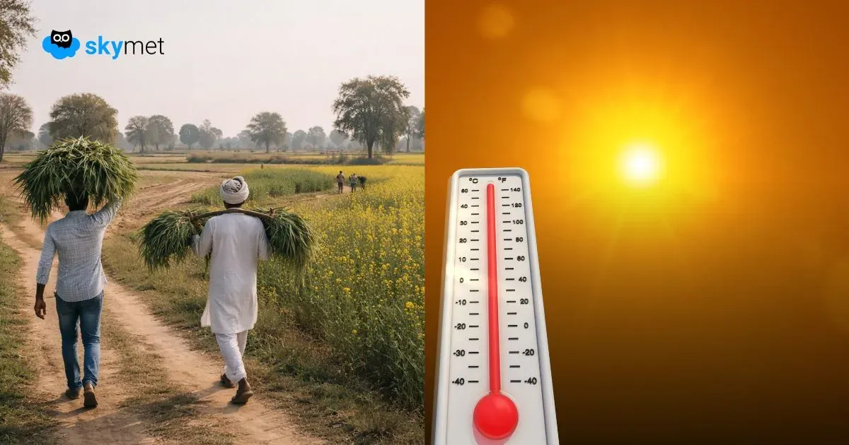
Image: AI-Skymet
Key Takeaways:
- Western disturbance and cyclonic circulation brought widespread February rain with hailstorms in parts of Rajasthan and Haryana.
- No strong weather system is expected for the rest of February, increasing the seasonal rainfall shortfall.
- Day temperatures will rise sharply, possibly crossing 30°C in Rajasthan and adjoining Haryana.
- Harvest conditions remain favourable till February end, with a possible weather spell in early March and early pre-monsoon transition ahead.
An active western disturbance over the hills and strong cyclonic circulation over the plains, together, caused widespread rains over Punjab, Haryana, Rajasthan, Uttar Pradesh, and Madhya Pradesh. Rains were mostly light to moderate, but sharp and intense weather activity was observed over some parts of East Rajasthan and West Haryana. Hailstorm activity also accompanied over a few places, along with thundershowers and strong winds. Weather conditions have improved since last evening.
There is no likelihood of another strong weather system during February, both in the plains and hills. The month of February, as a whole, has witnessed sub-par winter rains so far over North India. The seasonal shortfall is likely to grow further, as the region will observe mostly dry weather conditions in the leftover days of February.
In the absence of any significant weather system, the temperature profile will change significantly. Lack of clouds and plenty of sunshine will lead to a rise in day temperatures. The maximum temperature will go up from the mid-20s to the high-20s and may even breach the 30°C mark over West and North Rajasthan and bordering areas of Haryana. The minimum temperature will have the least variation, and barring West and Southwest Rajasthan, these are likely to stay in the low double-digit mark. Isolated places like Hisar and Amritsar may continue with high single-digit minimum temperatures.
Normally, the harvest period is from March to May, with a peak in April, over these plains. Yet, early-sown crops may be ready anytime soon. The next 10–12 days, up to February end, are considered safe for any such activity. Though a little early to say, there is a likelihood of another spell of weather in the first week of March. This forecast will need an update around mid-week next. Notwithstanding, the early transition to the pre-monsoon looks more likely within the next 15 days or so.


