Daily Weather Update for India, March 28: Forecast and Regional Conditions

Representational Image: AI-Skymet
Key Takeaways:
- Active Western Disturbance influencing weather over Northwest India
- Multiple cyclonic circulations driving widespread rain across regions
- Rain and thunderstorms to persist over North, East, and Northeast India
- Snowfall expected over Western Himalayas on March 28–29
Weather systems over the country
A Western Disturbance, as a cyclonic circulation, is over Jammu and adjoining areas between 3.1 and 5.8 km above mean sea level.
A cyclonic circulation is over West Rajasthan and central Pakistan, extending up to 1.5 km above mean sea level.
Another cyclonic circulation is over Northeast Assam.
A cyclonic circulation is over North Odisha and adjoining areas at 0.9 km above mean sea level.
A trough extends from Marathwada to South Interior Karnataka across North Interior Karnataka at lower levels.
A fresh Western Disturbance is likely to affect Northwest India from the night of March 28.
Weather activity during the last 24 hours
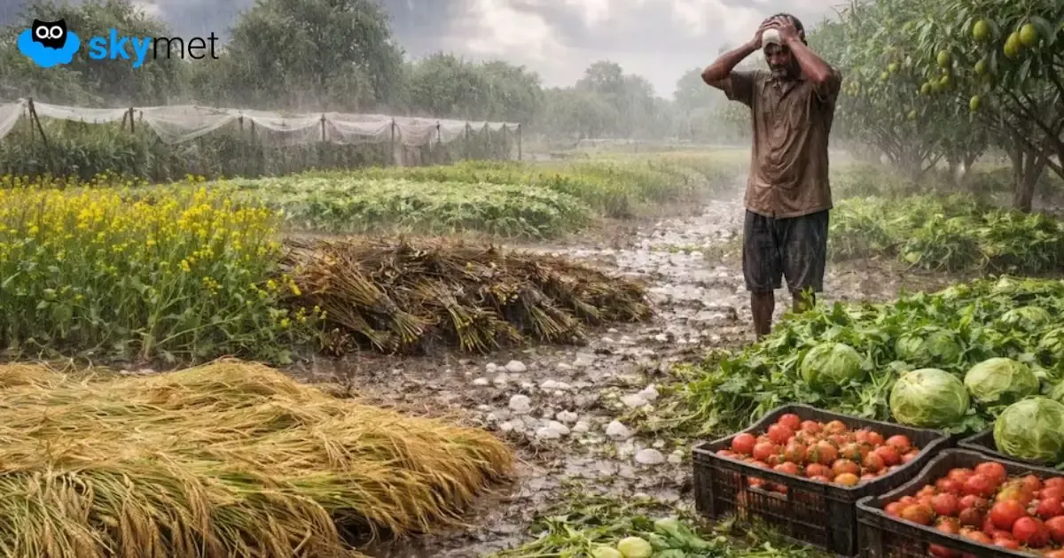
During the last 24 hours, light to moderate rain occurred over Sikkim, Assam, Arunachal Pradesh, coastal Odisha, Jammu & Kashmir, and North Rajasthan.
Light rain and thunderstorms with strong winds occurred over Punjab, Haryana, Delhi, and Uttar Pradesh.
Isolated light rain occurred over Interior Karnataka, Vidarbha, coastal Andhra Pradesh, Kerala, and South Madhya Maharashtra.
Weather activity during the next 24 hours:
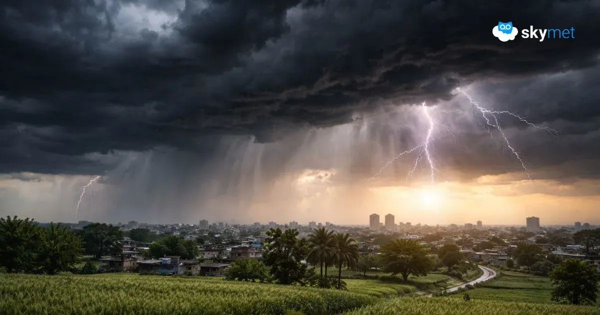
During the next 24 hours, light to moderate rain is possible over Himachal Pradesh, Uttarakhand, Sikkim, Sub-Himalayan West Bengal, Assam, Meghalaya, Arunachal Pradesh, Uttar Pradesh, Bihar, Jharkhand, and parts of Odisha.
Isolated rain and thunderstorms may occur over parts of Delhi, Northeast Madhya Pradesh, North Chhattisgarh, and Kerala.
Light to moderate rain and snowfall are possible over Jammu & Kashmir, Himachal Pradesh, and Uttarakhand on March 28 and 29.
Light to moderate rain is possible over parts of Punjab, Haryana, and Rajasthan on March 28.
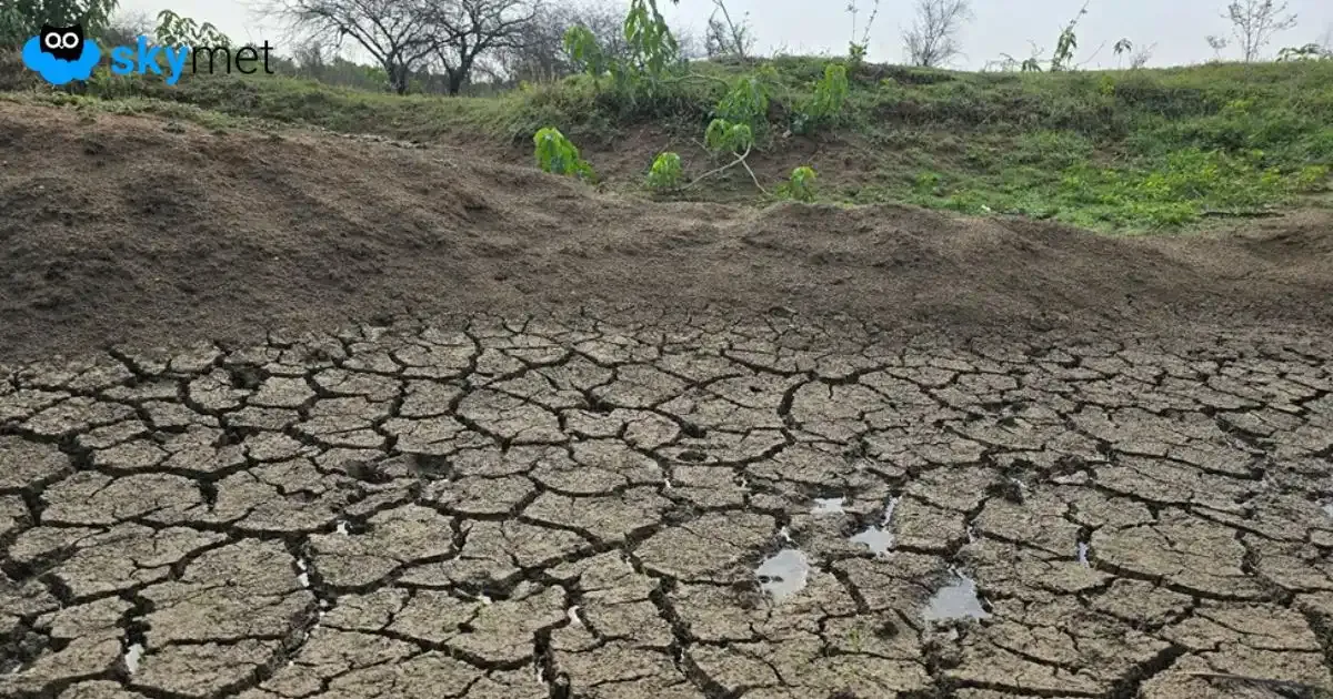
Skymet Exclusive: Risk of Sub-Par Monsoon and drought Over India Rises in 2026