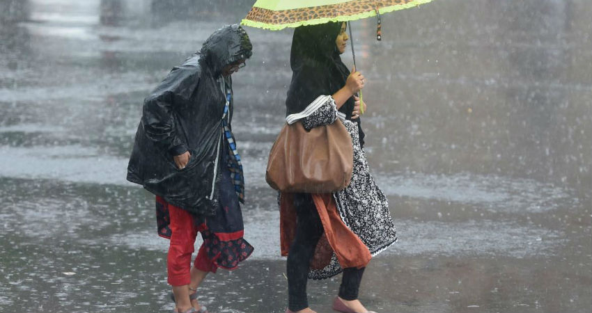
A fresh low pressure area is forming over the Northwest and adjoining West Central Bay of Bengal (BoB) within 24 hours. A cyclonic circulation has been persisting over this area for the last 48 hours and become more organized. The low pressure area nearly going to remain stationary over coastal parts of Odisha and West Bengal for the subsequent 72 hours, till 05th October. A ridge of high pressure is blocking its movement for this duration and later the weather system will move across Chhattisgarh and Maharashtra till it reaches the Konkan region as a weak system on 10th October.
The peripherals of the system will be affecting parts of East Uttar Pradesh, Madhya Pradesh, Andhra Pradesh, Telangana, and Gujarat between 05th and 10th October as it moves across the central parts. Heavy rainfall is likely at few places over Odisha, Jharkhand, West Bengal, and Chhattisgarh between 04th – 06th October. The spread and intensity of the system will decrease thereafter while affecting Madhya Pradesh, Maharashtra, and Gujarat.
The withdrawal of monsoon from these parts is likely to get stalled till it finds clearance at least till 10th October. As such the monsoon retreats from the Indian region by 15th October. Since the Bay of Bengal remains an active basin for the formation of the cyclonic storm during October, November and December, rains keep lashing east and northeastern parts and many a time extend to central and southern parts even after the withdrawal of southwest monsoon.


