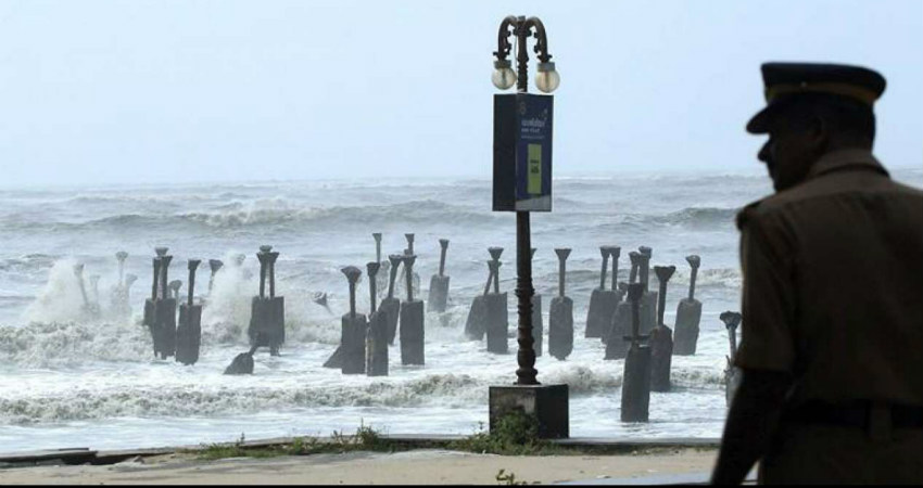
Much anticipated low pressure area has formed over South Andaman Sea and Strait of Malacca. Low pressure will move west-northwest and strengthen to depression over southeast Bay of Bengal (BoB). Simultaneously, it will gain latitude, which is very essential for sustenance and growth. Depression over southeast BoB will tend to move northwest and intensify in to tropical storm by 01stDecember 2023.
There is no consensus, as of now, amongst various numerical models on prediction of track, intensity and timelines. Going by climatology, the coastline from Tamil Nadu, Andhra Pradesh, Odisha to West Bengal & Bangladesh will be at risk of cyclone strike. Many of these storms, at this time of the season, move along the coastline in the close proximity, threatening Andhra Pradesh and Odisha for landfall.
Sea conditions are favourable for strengthening of the weather system. Adequate heat potential and moderate wind shear will support further intensification of the system. Longer the sea travel, stronger will become the cyclone. However, when the storm remains in the close vicinity of land for long, it tends to degrade and erode its configuration due to increased friction.
Precision forecast of this tropical cyclone will need another 36-48 hours. The steering current and position of the sub tropical ridge will be the deciding factors for the likely path of this storm. This will be the 4th tropical storm of the year over Bay of Bengal and 6th one over the Indian seas. The cyclone will be named Michaung, as proposed by Myanmar, and pronounced as Migjaum.


