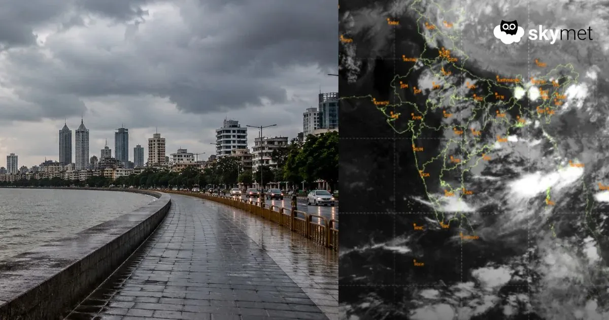
Presently, a Cyclonic Circulation is over the northern parts of Bay of Bengal, coastal parts of North Odisha and adjoining West Bengal. The cloud configuration in association with this system is suggesting the formation of aLow-Pressure Areain the next 24 hours over the same region.
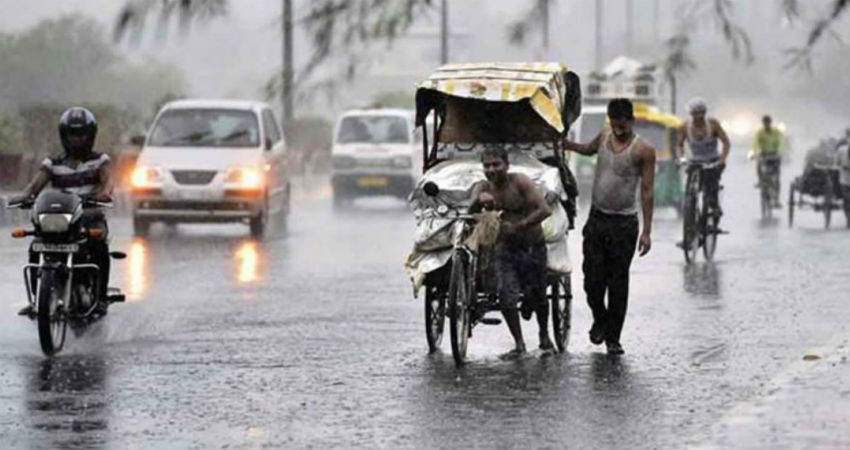
Subsequently, the system is likely to move inland across Odisha, South Chhattisgarh, and East Madhya Pradesh. By August 30, the system will further impact parts of Odisha, West Bengal, Chhattisgarh, East Madhya Pradesh and North Andhra Pradesh. The places to the south and the north of this track are likely to witness more activities. We can expect moderate rains over these areas with isolated heavy spells which would be purely based on localized weather conditions.
The very next day, the system will further shift northwest. At present, the Axis of Monsoon Trough is lying to the South of its normal position. While the normal position of Axis of Monsoon Trough extends from Sri Ganganagar which moves across Hisar, Jharsuguda and finally dips in the Bay of Bengal.
According to meteorologists at Skymet, by August 31, the Monsoon Trough is likely to shift North, basically, the western end will shift close to the foothills and at that time even the Low-Pressure Area will start moving Northwestward. All the weather systems which form usually track the Monsoon Trough and it’s a vice versa activity. Both the activities take place in tandem. These weather systems have the capability of pulling the Monsoon Trough and similarly, the Monsoon Trough has also the strength to pull the weather system along with it.
Around August 31, theAxis of Monsoon Trough will shift closer to the foothillsas mentioned earlier. So, bySeptember 1 or 2, we expect the system to cover large parts of north Madhya Pradesh, Southwest Uttar Pradesh, Northeast Rajasthan, Delhi and NCR along with parts of Punjab and Haryana. We can expect widespread moderate activities with isolated heavy spells between September 2 to 3. The lower reaches along with the foothills of Himachal Pradesh and Uttarakhand will once again see good rains around this time.
Another weather system in the form of a Cyclonic Circulation is also expected to brew in the Bay of Bengal between September 1 to 2.
Possibly this will be the last system to impact West Rajasthan as in the first week of September the Monsoon normally withdraws from the region.
Image Credits – English News Track Live
Any information taken from here should be credited to Skymet Weather