Northwest India Dry Spell to End; Rain and Thunderstorms Likely From February 16

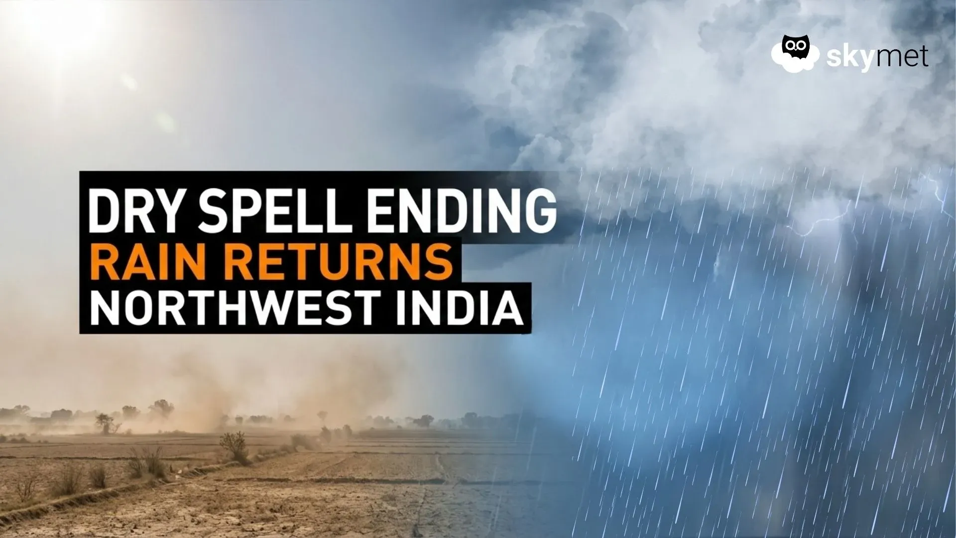
Image: AI-Skymet
Key Takeaways:
- No significant rainfall across Northwest India since early February.
- Rising temperatures due to persistent dry and clear conditions.
- Active Western Disturbance around February 16 may trigger rain and thunderstorms through February 19.
- Hailstorm risk may threaten maturing rabi crops in localized areas.
A prolonged dry spell has become firmly established across large parts of Northwest and Western India. Since the beginning of February, Punjab, Haryana, Delhi, Rajasthan and Madhya Pradesh have recorded virtually no rainfall, with weather conditions remaining largely clear and stable.
This extended dry phase has led to a steady rise in both day and night temperatures. In the absence of cloud cover, rainfall and moisture incursion, solar heating has intensified during the day, while nighttime cooling has reduced, resulting in overall warmer and distinctly dry winter conditions.
Although a few Western Disturbances approached the Western Himalayan region, they remained weak and failed to induce any significant cyclonic circulation over the northern plains, which is essential for triggering widespread rainfall across Northwest India. Consequently, the plains have remained largely unaffected, and dry weather has continued uninterrupted.
However, a more active Western Disturbance is expected to approach the Western Himalayas and adjoining Northwest plains around February 16. This system may induce a cyclonic circulation over western Rajasthan, along with the formation of a trough extending from West Uttar Pradesh to the Northeast Arabian Sea via Delhi, East Rajasthan and Gujarat.
This evolving synoptic setup — involving the Western Disturbance, induced cyclonic circulation, trough formation and Arabian Sea moisture feed — is likely to create favourable conditions for scattered rain and thunderstorm activity over Punjab, Haryana, Delhi, Rajasthan, West and North Madhya Pradesh, and Uttar Pradesh between February 16 and 19.
There is also a possibility of isolated hailstorm activity in some pockets. This period is particularly sensitive for rabi crops in the maturing stage, and moderate rainfall, strong winds or hail could cause localized agricultural damage.
At present, the exact intensity and spatial spread of rainfall remain uncertain. The situation is dynamic, and clearer signals will emerge as the system approaches. Continuous monitoring and regular updates will be essential to assess the evolving impact.
