
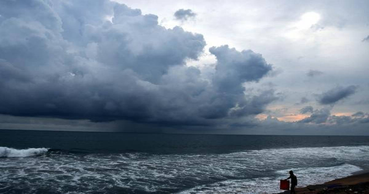
Pre monsoon season for the Indian Seas (Arabian Sea and Bay of Bengal) officially lasts from March to May. However, tropical storms have no bounds and have the history of developing in each of the month, both over AS and BoB. The cyclones forming in the month of June before the southwest monsoon tightly grips the southern parts are also counted as part of pre monsoon. There have been quite a few storms during 1st half of June over the Arabian Sea in the last decade or so. However, most of them track away from Indian coastline, of course with exception of some outliers.
Arabian Sea churned a cyclonic storm each in June 2014 ( Naunak ), June 2015 ( Ashobaa), June 2019 (Vayu) and June 2020 ( Nisarga). Out of these, only Nisarga attacked Konkan coast and all the rest stayed far away from Indian shore. Frequency of storms over Arabian Sea during month of May was further less. Total of 3 storms developed over this ocean between 2011 and 2021 and 2 of these in 2018 itself.
However, both these cyclones, named Sagar and Mekunu headed for Somalia and Oman coast respectively. The most powerful storm of May, striking Indian coast was Tauktae. It was an Extremely Severe Cyclonic Storm with life span of 5 days ( 14-19 May 2021). Tauktae had rapid intensification, against most predictions, from depression to Cat- IV equivalent. The cyclone weakened to Cat- III before striking near Diu ( Una Taluka of Saurashtra) in the night hours of 17th May 2021.
Heat potential of the ocean surface is very essential parameter for cyclogenesis. All the sea born environmental conditions, both atmospheric and oceanic, have to work in tandem for generation of a storm. The intensity of Indian Ocean Dipole(IOD) is represented by anomalous Sea Surface Temperature (SST) gradient between western equatorial Indian Ocean ( 50-70°E / 10°S - 10°N) and southeastern equatorial Indian Ocean ( 90-110°E / 10°S-10°N).
This gradient is termed as Dipole Mode Index (DMI). A +ve DMI also means +ve IOD and -ve DMI is referred as -ve IOD. Presently, IOD is marginally -ve and the model projection, as per Australian Bureau of Meteorology, for the upcoming month of May and the monsoon months later, continue to grow its -ve magnitude. -ve IOD also means that western equatorial Indian Ocean and Southern parts of Arabian Sea are cooler than normal. Any drop in the SST, howsoever small, flattens the heat potential of ocean surface and thermocline. Such scenarios do not augur well for cyclogenesis of tropical disturbances and rather have ‘ killing effect’ for sustenance and further growth.
Under -ve IOD conditions, any likely disturbances will have to have stronger counter for compensating the heat energy. Small scale systems are likely to come up over Arabian Sea, off Kerala and Karnataka coast, even during April, but may fail to grow beyond weak low pressure or broad cyclonic circulation. Even if a tropical storm manages to come up over Arabian Sea during May, the weather system may diffuse over the ocean itself, without having much of sea travel.
