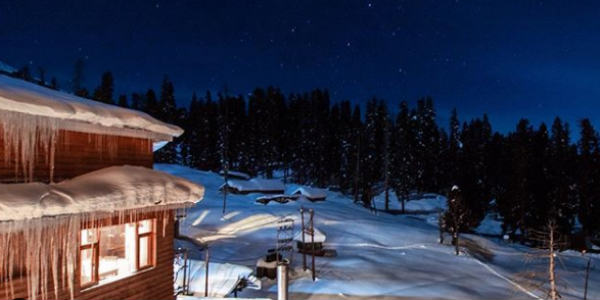
The hills of North India had seen a breather for some time after seeing intense activities in terms of rain, snow as well as avalanches followed by them.
However, a fresh Western Disturbance did make an appearance over the hills of North India yesterday and is moving away now. This system has been feeble in nature and has caused light rain and snowfall activity over the hills. Rain and snow are likely to continue over Jammu and Kashmir, Himachal Pradesh as well as Uttarakhand.
There is another Western Disturbance which is likely to affect the Western Himalayan region tomorrow.
Thus, rain and snow of light to moderate intensity is expected to continue over Jammu and Kashmir, Himachal Pradesh for the next two days at least.
Areas of Gulmarg, Srinagar, Pahalgam in Kashmir may be the ones seeing some snowfall activities. Along with this, the possibility of avalanches cannot be ruled out in the higher reaches.
As per the weathermen at Skymet Weather, it is the northern regions which will be witnessing more rain and snow as compared to the other parts of the hills of North India.
Moreover, the plains of North India are also expected to see some rains coupled with isolated hailstorm activity during the same time frame.
Maximums, at the time of the rains will see a drop while minimum temperatures may see a rise.
Image Credit: wikipedia
Please Note: Any information picked from here must be attributed to skymetweather.com


