
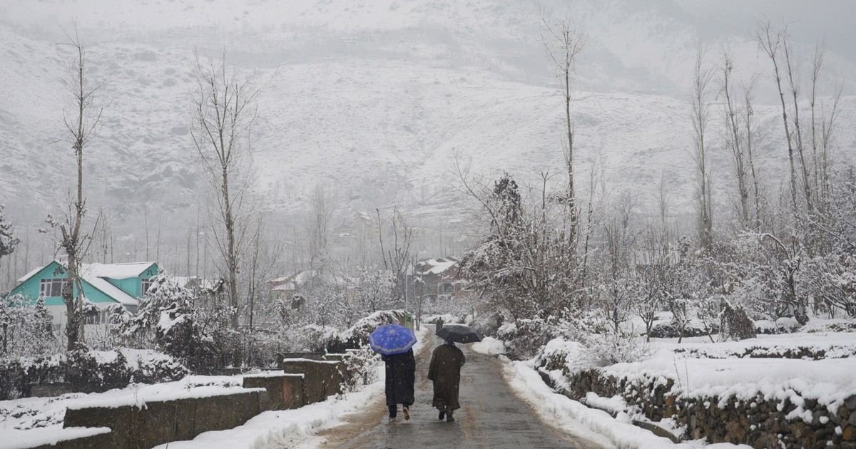
First strong and active Western disturbance of the season has approached Western Himalayas. As an effect, rain and snow have been going on over Jammu and Kashmir, Gilgit Baltistan, Muzaffarabad, Ladakh, and Himachal Pradesh.
An induced cyclonic circulation is over Central Pakistan and adjoining northwest Rajasthan. The combined effect of these weather parameters has given moderate to heavy rain and thundershower activities along with hailstorm over Punjab, Haryana, Delhi NCR, north and east Rajasthan, north Madhya Pradesh, parts of Uttar Pradesh including Lucknow, Kanpur and Gorakhpur.
Today, temperatures will drop in northwest India by 2 to 4 degrees. Delhi and many other cities of North India have witnessed a significant decrease in air pollutants. Moderate rains to continue over Delhi NCR, result in decreasing the air pollution and will remain in moderate to poor category for at least next 2 to 3 days.
By November 18th, cold winds from the Western Himalayas where fresh snowfall has occurred will commence over northern plains leading to drop in temperatures.
Active easterly wave and active Northeast Monsoon has lashed Tamil Nadu and south Andhra Pradesh. Moderate to heavy rain occurred over Nellore, Kavali, Tirupathi, Pondicherry, Parangipattai, and Tuticorin. Chennai and Bengaluru also recorded good rain activities along with Machilipatnam, Kodaikanal, Coimbatore, Coonoor, and Atiramapattinam.
Easterly wave will remain strong and rains will be moderate to heavy along with South Andhra Pradesh and Tamil Nadu for another 24 to 48 hours.
