
Western disturbance as an upper air system is moving across northern mountains. Another western disturbance will arrive over the Western Himalayas tomorrow. The two systems, acting in tandem, will lash the hilly states with rain, thundershowers and snowfall over the next four days, till 31st March. Jammu & Kashmir will witness fierce weather activity, followed by Himachal Pradesh and the minimal over the state of Uttarakhand.
Quick and frequent western disturbances have thronged the mountain states of the north, during this month. The disturbances started arriving, right in the beginning during winter games in Ladakh and Kashmir Valley and the trail continued with short breaks in between. The pattern is synonymous with El Nino conditions, wherein extended winters are realized for the mountains and plains, as well, of North India. Similar conditions are likely to continue, even at the start of April.
Most parts of Jammu & Kashmir have experienced light rain in the lower hills and scattered snow in the higher reaches. Batote, Banihal, Kukernag, Kupwara, Srinagar, Gulmarg, and Pahalgam received light showers in the past 24 hours. Even, the foothills across Jammu, Udhampur, and Katra witnessed fleeting showers. Similar weather activity will continue today, as well.
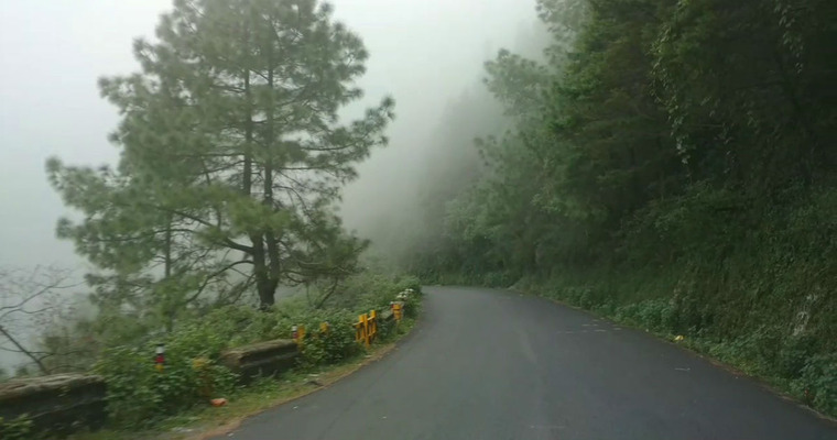
An active western disturbance reaching tomorrow will reinforce the weather activity. Spread and intensity will increase substantially on 29th and 30th March. Elevated areas of the state, beyond 12,000 feet will receive moderate to heavy snowfall. The peaks between 6000’ and 10000’ will receive widespread moderate rain and thundershowers, mixed with, isolated heavy spells. Lower parts of Himachal Pradesh will be at risk of severe thunderstorms and hailstorms on these two days. Dalhousie, Dharamshala, Kangra, Kullu, Manali, Chamba, Kasauli and Shimla will observe inclement weather conditions on these two days. Elevated areas like Rohtang and Lahaul & Spiti will observe snowfall. Higher areas of Shimla district like Kufri, and Narkanda will witness scattered rain and snow. Garhwal hills of Uttarakhand will experience an increased spread of weather than the Kumaon hills. Uttarkashi, Tehri, Rudraprayag and Chamoli will have a risk of stormy conditions with lightning and thunderstorms. Higher reaches like Badrinath, Kedarnath, Yamunotri and Hemkund Sahib will have moderate snowfall, more so, on 30th March.
The remnant effect of this system may remain on the 01st and 2nd of April. Another wave of rain-snow is likely from midweek next. Road connectivity will be at stake in some pockets, both highways and arterial links. Landslides and mudslides may disrupt the routine traffic. The threat of avalanche can not be ruled out in the vulnerable areas. Caution needs to be exercised to safeguard life and assets.
Image Credit: Wikipedia
