Week Long Rain-Thunderstorm Activity For Delhi, Mercury Plunge Below Normal
The day temperature took a significant dip yesterday. A change of wind pattern to easterly and strong surface winds in the afternoon mitigated heat stress. After having a spree of above 40°C for five days in a row, the temperature plunged to below normal. Base station Safdarjung recorded a maximum of 37.5°C, about 1.5°C below the average. Airport observatory Palam recorded a high of 36.2°C, nearly 4°C below the normal. Both Safdarjung and Palam registered the lowest maximum temperature of the last two weeks.
Such temperatures for Delhi around this time of the month are rather unusual and an aberration. The fag end of April generally registers the highest temperatures of the month. More often, the mercury levels stay in the low 40s during the last five days of the month. Delhi recorded the highest temperature of 42.1°C on 26th April 2025. Today, the mercury is expected to rise as compared to the previous day but still may remain short of 40°C. The temperatures are likely to dip significantly from tomorrow onwards and stay good for nearly one week.
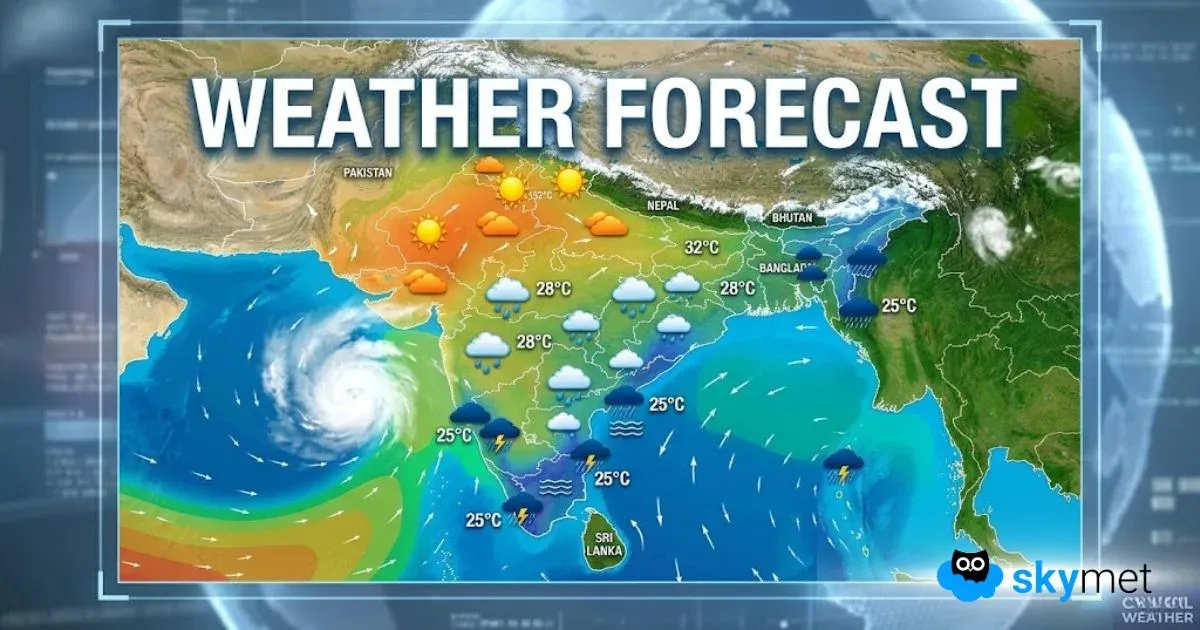
A western disturbance is likely to arrive in the late hours tomorrow over the mountains. An induced circulation will form over central Pakistan and border areas of North & West Rajasthan. An east-west trough will run in the close proximity of Delhi between 01st and 06th May 2025. Oscillation of the trough will trigger typical pre-monsoon activity for Delhi/NCR commencing late night on 01st May. Weather activity is likely in the late night or wee hours between 01st and 04th May. The window of thunderstorm-dust storm will shift to the evening hours on 05th and 06th May 2025. The remnant effect of the system may last on 07th May as well.
Delhi is expected to witness typical pre-monsoon stormy activity till mid-week next. Rain, thundershowers, dust storms, lightning with thunder, strong gusty winds kicking up dust and reducing visibility are going to be the highlights. The inclement weather conditions may impact air operations, resulting in delays, diversions, congestion, more so during peak hours. Of course, the prolonged spell will mitigate the heat factor and provide relief. Weather conditions in the night and early morning are likely to turn pleasant during the opening week of May. However, caution needs to be observed during hazardous weather conditions like thunderstorms accompanied with lightning and gale-speed winds. Observe precautions and stay safe.


