
The onset of Southwest monsoon this year was a tad bit early on May 28. However, officially, Monsoon rains are only counted June 1 onward.
Since the beginning of Monsoon, rains have been good for most parts. The pace of advancement of Southwest Monsoon has also been good for the southern parts as well as even the central and Eastern parts.
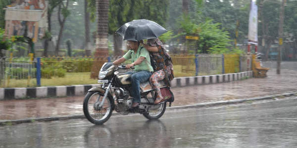
Monsoon reached Mumbai a day prior to the stipulated date and has until now covered the states of Maharashtra, a few areas of Chhattisgarh, Odisha as well as West Bengal.
The rainiest pocket during these last 12 days have been in the West Coast including the states of Kerala coastal Karnataka as well as Konkan and Goa.
[yuzo_related]
The interiors have also seen good rains including the areas of Maharashtra, Madhya Pradesh, Odisha and Chhattisgarh.
Northeast India which happens to be one of the rainiest pockets during the Monsoon season has remained deficit by a good margin.
Talking about the rainfall amount in the first 10 days of June, Harnai recorded 250 mm, Ratnagiri 807 mm, Vengurla 669 mm, Karwar 571 mm, Mangaluru 355 mm, Honavar 414 mm, Kochi 268 mm, Kozhikode 360 mm, and Thiruvananthapuram 225 mm.
Prior to the month of June, the last few days of May were also good where in Karnataka and Konkan saw Pre monsoon showers while Kerala witnessed Monsoon rains. In 24 hours time, Mangaluru recorded 264 mm of rainfall.
During the last 24 hours, country saw 45 percent surplus rainfall. Due to this, the pan India seasonal rains stand surplus at a whopping 19 percent.
Now rainfall activity has slowed down along the West Coast and remains confined to coastal Karnataka and Kerala. In fact, during the next two days, Monsoon surge is likely to Ssow down which will result in the dip in rainfall over most parts of the country. Below normal rainfall is expected which may drop down the pan India surplus amounts to some extent.
June 17 onward, Konkan region is expected to witness rainfall activity again. However, Northeast India is expected to continue receiving rains for another 24 to 48 hours. Pre-Monsoon activity is also likely over Bihar, Jharkhand, parts of Madhya Pradesh and Chhattisgarh. However, North India is expected to remain dry.
Image Credit: wikipedia
Please Note: Any information picked from here must be attributed to skymetweather.com
