
Another system is expected to form in the Bay of Bengal, close on the heels on the earlier one which now low Pressure area over parts of Uttar Pradesh and will gradually flatten. By the time it flattens completely we expect the system to mark its presence. This system will start as a cyclonic circulation forming around September 17 over North Bay of Bengal.
On September 17 the system will make its first appearance, and will remain over the same area meandering and reorganising over that region of North Bay adjoining Coastal Odisha, West Bengal and coastal parts of Bangladesh. We expect the system to be there until September 20.
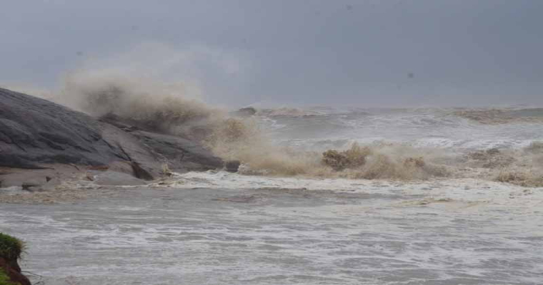
While the system is reorganizing and taking its due shape between September 17 and 20, weather activity will be seen over parts of West Bengal, Odisha and even deep inside to Chhattisgarh and East Madhya Pradesh. The confluence zone of the region will be seen affecting weather even over parts of Jharkhand, Bihar and adjoining areas. The peripherals will go down as much as Vidarbha as well as Telangana.
By September 21 we expect this system to take the shape of a low-pressure area, moving partly over land and partly over sea with winds strengthening. By September 22, the system is expected to cross the land and be inland completely. This is the time when these parts will see rains again. In view of the withdrawal getting closer, the track of the system may not go as far as the previous one which went up to Gujarat and Rajasthan and will remain limited to the central parts.
