

Storms Over West Pacific Delay Monsoon System Over Bay Of Bengal

Key Takeaways:
- Bay of Bengal has not hosted any organized monsoon system so far this season.
- Southwest monsoon advance remains stalled over Konkan and eastern India.
- Twin typhoons over the West Pacific are disrupting Bay of Bengal wind patterns.
- A low-pressure area may develop over North Bay of Bengal around early July.
- Forecast Validity: next 7–10 days for monsoon revival and system development.
Advertisement
The southwest monsoon continues to remain sluggish across the country as the Bay of Bengal has not hosted a single monsoon system so far this season. These systems normally act as monsoon triggers, and their absence has virtually stalled the monsoon advance on both sides of the Indian coastline.
Advertisement
The Northern Limit of Monsoon (NLM) remained stuck near Harnai along the Konkan coast since June 8, almost for two weeks. The monsoon is now expected to inch northward and cover the remaining parts of Konkan, including Mumbai, and advance into South Coastal Gujarat. However, the pace of advancement is still likely to remain slow and well below the normal progression.
On the eastern side, the NLM has been stalled near Muzaffarpur since June 12 and continues to struggle for further advancement. The monsoon may remain stagnant over this region for a few more days and is expected to progress only toward the fag end of June or the beginning of July. During this period, some advancement over central parts of the country is likely.
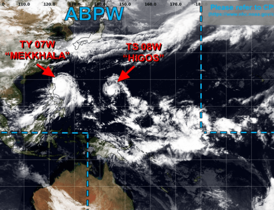
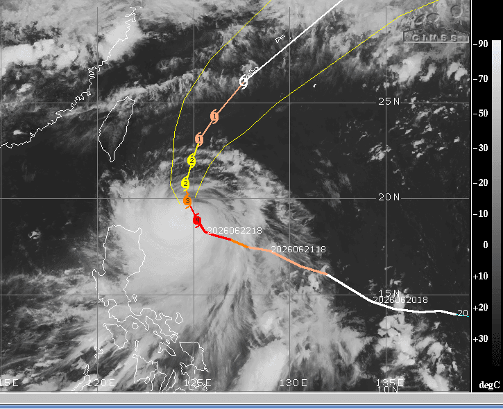
Meanwhile, a powerful typhoon named ‘Mekkhala’ is active over the eastern parts of the Philippines Sea. The typhoon is expected to weaken gradually as it recurves northward and later northeastward, moving closer to southern Okinawa in Japan.
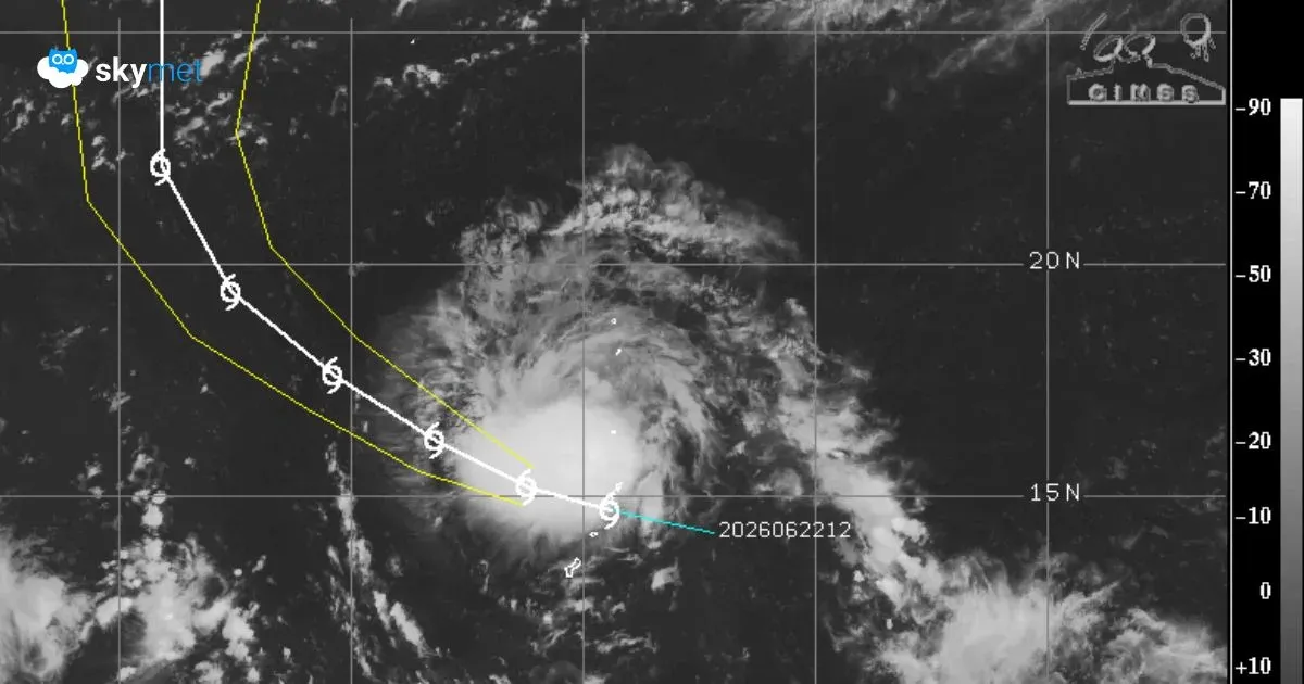
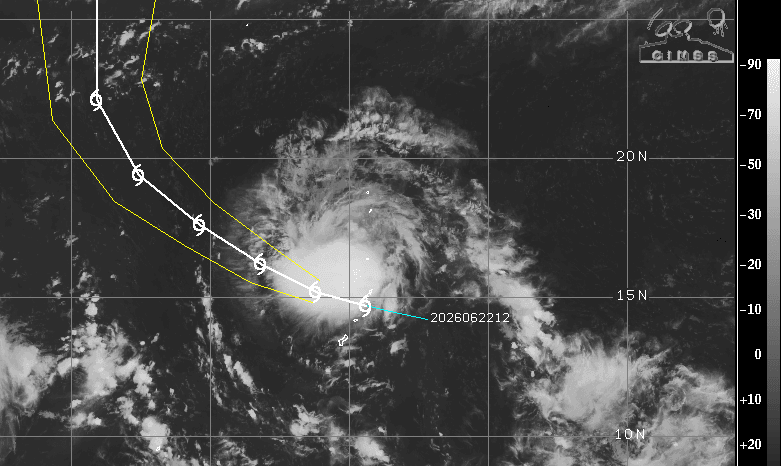
Another typhoon, ‘Higos’, over the Mariana Islands is closely following Mekkhala. This system is also likely to recurve over the ocean and move closer to Honshu Islands in Japan.
These intense storms over the West Pacific and the Philippines Sea have the potential to alter wind patterns across Myanmar and the Bay of Bengal region. The recurving systems have significantly disturbed the wind circulation over the North and East Bay of Bengal.
Advertisement
Although a weak sea-borne disturbance persists over the Bay of Bengal, it has failed to intensify under the influence of these twin typhoons. However, both storms are expected to move away to safer distances during the next four to five days.
Thereafter, weather conditions are likely to become favourable for the development and organization of a fresh system over the Bay of Bengal toward the end of June. A low-pressure area, possibly the first organized monsoon system of the season, may form over the North Bay of Bengal during the beginning of July.
At this stage, it is still slightly early to specify the exact timeline of development. The situation will need close monitoring over the coming days. In all probability, the likely Bay of Bengal system may become instrumental in pushing the monsoon deeper inland across eastern and central parts of the country.
Trending:



