
Cyclone Uesi is all set to bring heavy rains along with intense winds over parts of Australia. In fact, even before the arrival of the storm, rains and thunderstorms will begin over both Queensland and New South Wales.
Severe weather warning remains in place for parts of Brisbane and Gold Coast area with possibility of rains over 250 mm in a few areas. Sydney is expected to receive more than double the usual amount of rains. Also, Hobart, Canberra and Melbourne are also likely to see more weather.
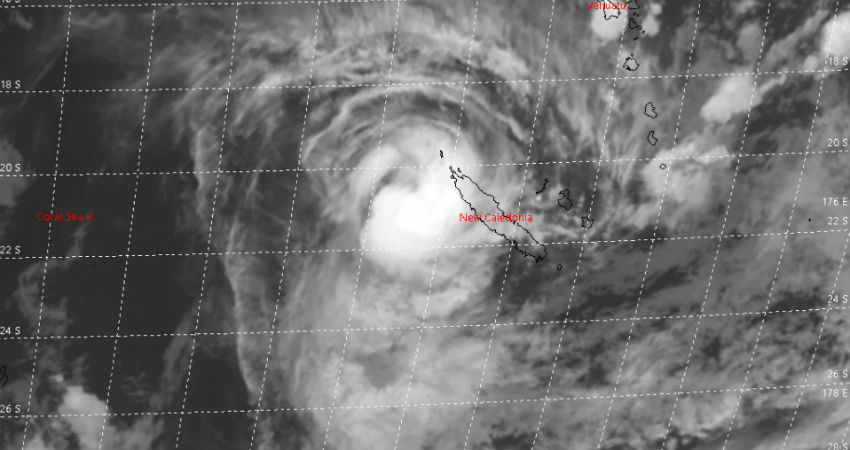
Uesi is at present a Cat 2 storm and is west of New Caledonia in Coral Sea. The system is expected to move southwestward towards the coastal regions of New South Wales. However, it may even brush Queensland during the latter part of the week.
As per the Bureau of Meteorology (BOM), when the storm enters the waters of Australia, it could remain a Tropical Cyclone. However, the possibility of the storm undergoing a metamorphosis and becoming an extra tropical cyclone also cannot be ruled out.
Cyclone Uesi could produce waves as high as 5 metres. Today, tomorrow and until the weekend, Sydney could see rains of 50 mm per day while 150 mm of rains each day could be seen at Byron Bay and 130 mm in Gold Coast.
Image Credit: JTWC
