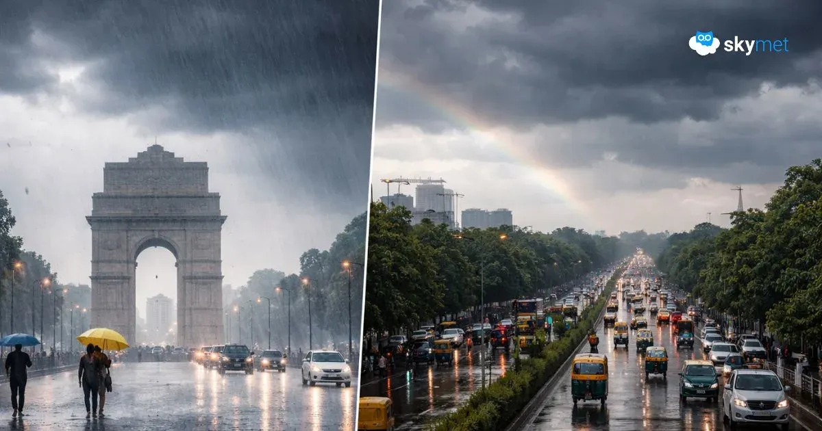
Delhi Gets Highest Rainfall Of Last Three Years: More Showers Today

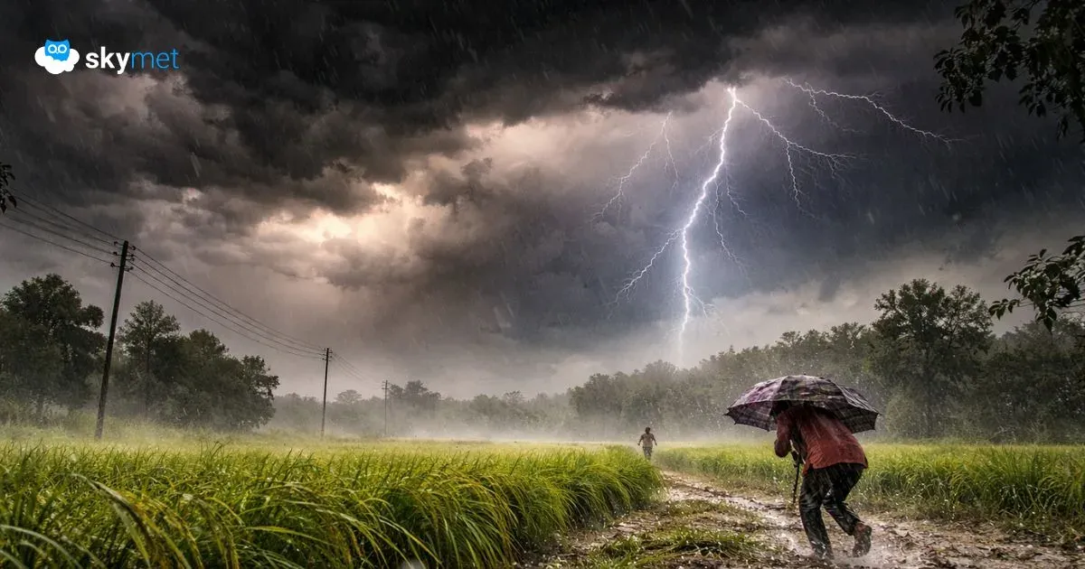
Representational Image: AI-Skymet
Key Takeaways:
- Delhi/NCR continues to witness intermittent rain and thundershowers since March 18
- March rainfall likely to reach near-normal levels within 24 hours
- Day temperatures have dropped significantly, expected to stay in low 20s today
- Clear weather expected over the weekend, with slight rain possible on Monday
Delhi/NCR is continuing with the wet spell. Rain and thundershowers started late in the evening on Wednesday, 18th March, and intermittent activity has been ongoing since then. The sky is likely to remain overcast today, heavy at times, and light to moderate rainfall is expected to be accompanied by short breaks in between. Improvement in weather conditions will start tomorrow, in the early hours itself.
Base station Safdarjung, the record repository for Delhi, registered 8 mm and 7 mm rainfall yesterday and today, respectively. Earlier, on 15th and 16th March, a total of 1.2 mm rainfall was recorded. Put together, the month of March so far has registered rainfall of 16.2 mm, against the monthly normal of 19.1 mm. Light rainfall is continuing and it may reach very close to normal in the next 24 hours. Incidentally, this is the highest rainfall for Delhi in the last three years. Earlier, the observatory had recorded 1.8 mm and 4.3 mm in March 2025 and 2024, respectively. The rainfall was quite heavy in 2023, and the city had recorded 53.2 mm rainfall. Contrastingly, there was zero rainfall observed in March 2022.
The intermittent rains have lowered the day temperatures substantially. Safdarjung recorded a day maximum of 26.8°C yesterday, and this is the lowest temperature since 19th February 2026. The overcast conditions today may sink the mercury levels further, and the maximum is likely to remain in the low 20s. A gradual rise in temperature is expected from tomorrow onwards and is likely to reach around 32°–33°C by mid-week next.
The Western Disturbance and its induced circulation are likely to move eastward, at a safe distance from Delhi, by tomorrow. Broad clearance in weather activity is expected for the complete weekend, Saturday and Sunday. The city may witness a very brief spell of light rain on Monday in some parts. It is not likely to cause any inconvenience to commuters.