Daily Weather Update for India, March 21: Forecast and Regional Conditions


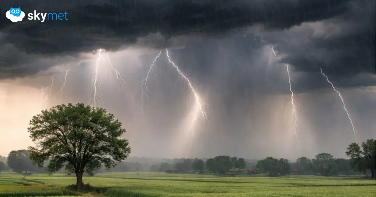
Representational Image: AI-Skymet
Key Takeaways:
- Multiple cyclonic circulations and a Western Disturbance are driving widespread weather activity
- Rain, thunderstorms, and snowfall observed across North, West, and Northeast India
- Weather activity to shift towards East and Northeast India from March 20 evening
- Temperatures expected to drop by 3–5°C across East and Northeast India
Weather systems over the country
A cyclonic circulation now lies over Northwest Madhya Pradesh and adjoining South Uttar Pradesh.
The cyclonic circulation over Northeast Assam and adjoining Arunachal Pradesh extends between 1.5 and 3.1 km above mean sea level.
A trough extends from Jharkhand to western parts of Assam across Gangetic West Bengal at lower levels.
A cyclonic circulation is over Haryana.
A Western Disturbance is seen as a cyclonic circulation over North Punjab and adjoining areas at 3.1 km above mean sea level.
Another cyclonic circulation is over South Interior Karnataka at 1.5 km above mean sea level.
A fresh Western Disturbance is likely to affect North India from March 22.
Weather activity during the last 24 hours
During the last 24 hours, light to moderate rain and snowfall, with isolated heavy spells, occurred over Himachal Pradesh and Uttarakhand.
Light to moderate rain and snowfall occurred over Jammu & Kashmir, Gilgit-Baltistan, Muzaffarabad, Ladakh, and Sikkim.
Dust storms, thunderstorms, and rain occurred over parts of Delhi, Punjab, Haryana, and Rajasthan.
Light to moderate rain and thunderstorms, associated with strong winds, occurred over many parts of Gujarat.
Light to moderate rain, with one or two heavy spells, occurred over Tamil Nadu.
Light to moderate rain occurred over Coastal Andhra Pradesh, Telangana, South Madhya Maharashtra, Vidarbha, Madhya Pradesh, Gangetic West Bengal, and Northeast India.
Light rain occurred over Madhya Maharashtra, Telangana, Chhattisgarh, East Uttar Pradesh, Jharkhand, and Andaman & Nicobar Islands.
Day and night temperatures dropped significantly across Punjab, Haryana, Uttar Pradesh, Delhi, East Rajasthan, and Gujarat.
Weather activity during the next 24 hours:
During the next 24 hours, light to moderate rain and snowfall, with a few heavy spells, are possible over Himachal Pradesh and Uttarakhand until tonight, March 20.
Scattered light to moderate rain and snowfall are possible over Jammu & Kashmir, Ladakh, Muzaffarabad, and Gilgit-Baltistan.
Rain and thunderstorms may occur at many places over Northeast India, Uttar Pradesh, Bihar, Jharkhand, West Bengal, Odisha, Chhattisgarh, and East Uttar Pradesh.
Light to moderate rain and thunderstorms, associated with strong winds, may occur over Punjab, Haryana, Delhi, Rajasthan, and West Uttar Pradesh until today, March 20.
Rain and thundershower activity will gradually shift towards East and Northeast India by the evening of March 20.
Day and night temperatures may drop by 3°C to 5°C across East and Northeast India during the next two days.
La Nina: Redefined ENSO May Extend La Nina Conditions Beyond Spring Barrier: El Nino Likely During Monsoon
Skymet Exclusive: Risk of Sub-Par Monsoon and drought Over India Rises in 2026