

Delhi: Light-Moderate Showers Till Sunday; Dry Weather Next Week

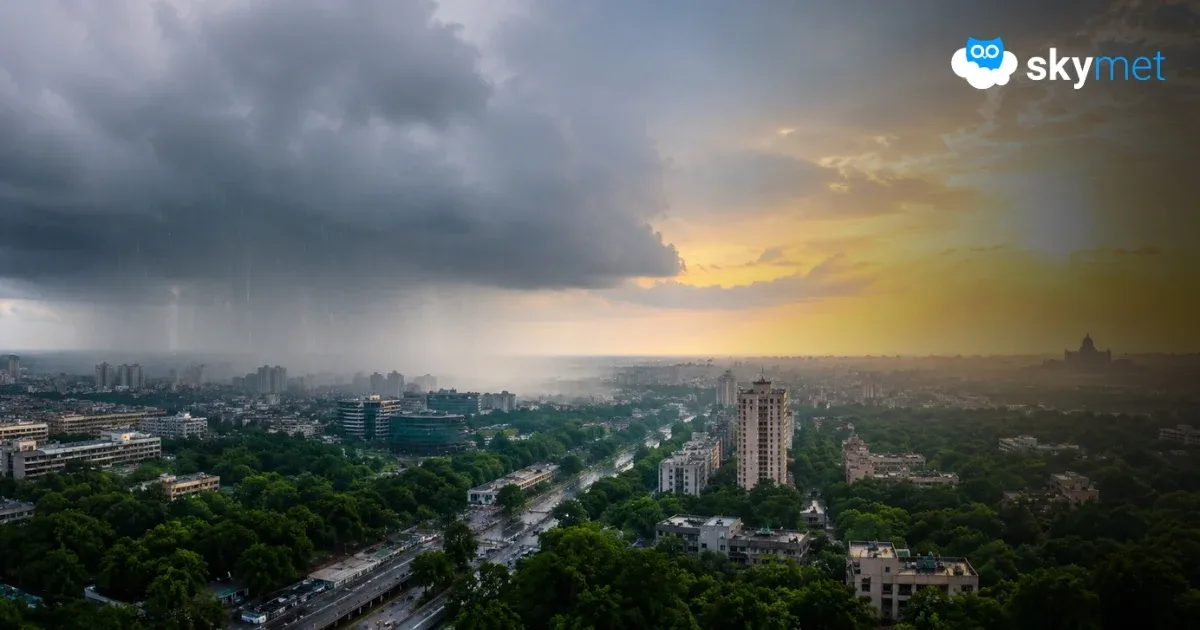
Representational Image: AI-Skymet
Key Takeaways:
- Delhi received light to moderate showers, with Palam recording 28.4 mm and Safdarjung 8.1 mm of rainfall.
- Safdarjung has received 272.6 mm of rainfall from August 1-20, exceeding its monthly rainfall of 226.8 mm.
- Scattered rain and thundershowers are likely over Delhi and its suburbs till Sunday due to the proximity of the monsoon trough.
- Rainfall activity may become minimal next week, with temperatures rising to around 35°-36°C and warm, sultry conditions returning.
- Forecast Validity: Next 2 to 4 days.
Advertisement
Advertisement
Delhi region received light to moderate showers yesterday, for the first time since 15th Aug. Palam recorded 28.4 mm and Safdarjung 8.1 mm of rainfall till 8:30 a.m. The record observatory, Safdarjung, has accumulated a total of 272.6 mm of rainfall between 1st and 20th Aug 2026. With this, the base station has exceeded the monthly rainfall of 226.8 mm for the third consecutive August. Last year, the observatory had registered 400.1 mm of rainfall in the month of August, which was the highest in the last fifteen years. Light to moderate rainfall is likely during the remaining days of this week, with the weather turning dry thereafter.
The depression has weakened into a low-pressure area, now lying over the tri-junction of Northeast Madhya Pradesh, North Chhattisgarh and Southeast Uttar Pradesh. The system has a cyclonic circulation extending up to 20,000 feet, slanting southward with height. This low-pressure area will weaken further tomorrow, and its cyclonic circulation will get diffused and merge with the seasonal monsoon trough.
The monsoon trough is the main trigger for Delhi rains around this time. The trough is passing north of Delhi but remains in proximity to the capital city. The western disturbance over the mountains, as an upper-air trough, has been pulling the monsoon trough northward and keeping it north of its normal position. The trough at the surface level passes through Firozpur, Kamal, Fatehgarh, the centre of the low-pressure area, Digha and dips over the Northeast Bay of Bengal. The east-west-oriented trough will remain close to Delhi and oscillate between the foothills and the national capital.
Scattered rain and thundershowers are likely in association with the trough over Delhi and its suburbs till Sunday. A fresh circulation and low-pressure area are likely to form over the Northwest Bay of Bengal and adjoining West Bengal-Bangladesh region around 23rd Aug 2026. Unlike the predecessor system, now lying over Northeast Madhya Pradesh, the low-pressure area will keep meandering over the same region. It is unlikely to move deep inland. The monsoon trough will shift north of Delhi and keep a safe distance from the new weather system.
Weather activity is expected to become minimal over Delhi/NCR starting next week. The surface and low-level winds will become stronger. The day temperature is expected to rise next week and stay around 35°-36°C. The weather conditions are likely to become warm and sultry.
Trending:



