Low Pressure Area Over Bay Of Bengal To Become Depression: Heavy Rains Over Eastern- Central Parts

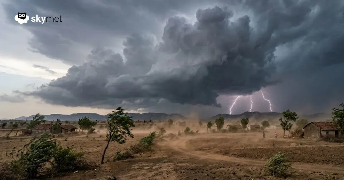
Representational Image: AI-Skymet
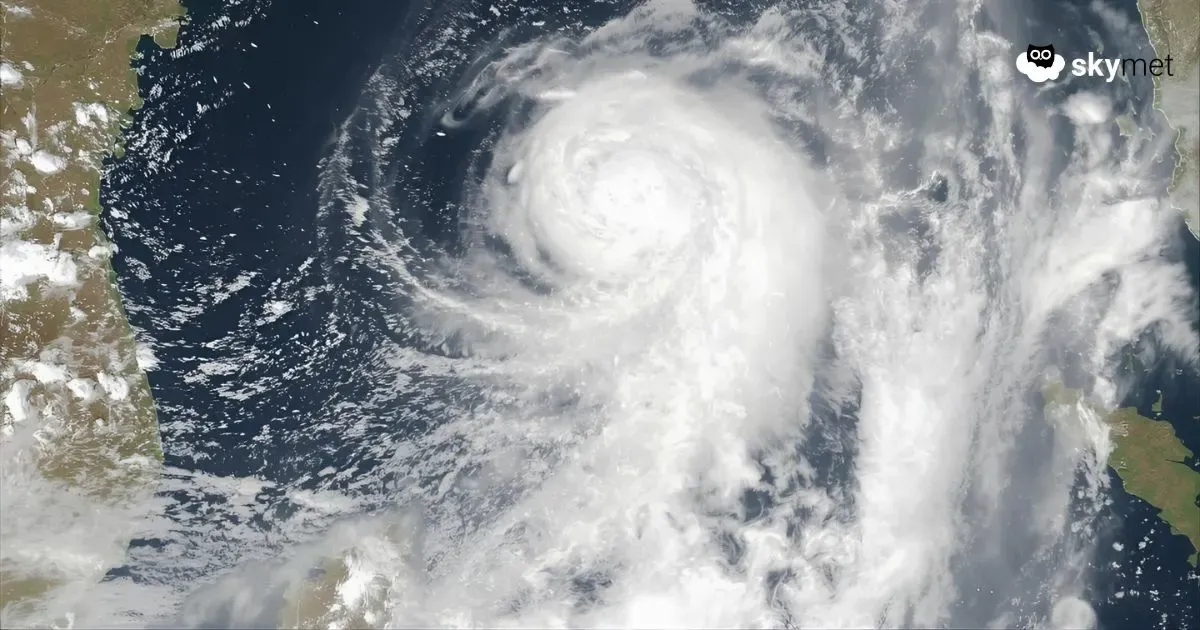
As on predicted lines, a fresh low-pressure area formed over Central and adjoining Northwest Bay of Bengal (BoB). It has become well marked now and will intensify further to a depression. The system will move northwest to get positioned over Northwest and West-Central BoB, close to the coastline. The depression will cross South Odisha and North Coastal Andhra Pradesh tomorrow and move deep inland rapidly. Under its influence, fairly widespread and heavy rainfall is likely over the eastern and central parts of the country.
The convergence zone of the weather system is far ahead of the center, and spiraling bands of clouds have already been reaching the coastline and interiors of central states. Over the next two days, fairly widespread intense weather activity will cover Odisha, Andhra Pradesh, Telangana, Vidarbha, Marathwada, and South Chhattisgarh. The peripheral clouds will reach East Madhya Pradesh, Madhya Maharashtra, and North Interior Karnataka. Northern parts of Konkan, including Mumbai and South Gujarat, will also fall under the ambit of the depression sometime late in the day tomorrow and continue thereafter for the subsequent four days, till 01st October.
While the severe weather activity will start vacating the rear section of the depression on 28th September, the heavy rains will get concentrated more over Konkan, Madhya Maharashtra, and South & Central Gujarat between 28th September and 01st October. Scattered light to moderate rains are also likely to visit extreme southeast parts of Rajasthan and southwest parts of Madhya Pradesh, where the monsoon possibly would have retreated by then. Weather conditions will improve over Konkan, South Gujarat, and Madhya Maharashtra on 02nd October and later. In the meantime, another weather system is likely to come up over BoB, and this may revive the monsoon activity yet again over eastern and central parts of the country.