Monsoon Circulation Forms Over Bay of Bengal; Heavy Rainfall Likely Over Kerala, Karnataka, Maharashtra
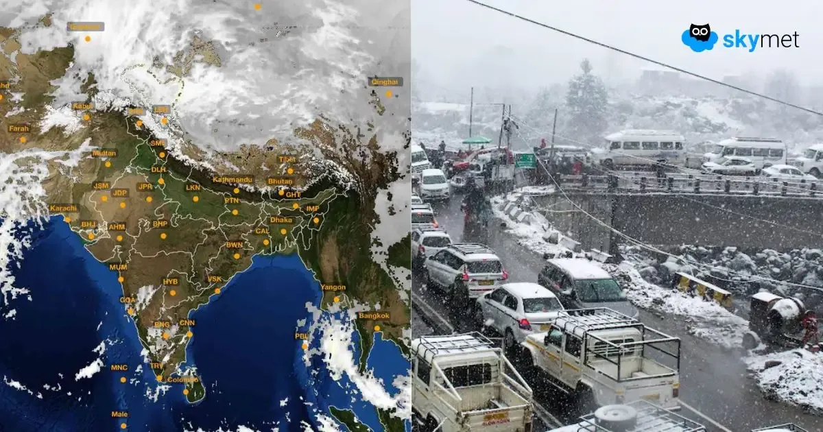
The much-anticipated monsoon circulation has come up over the Bay of Bengal and coastal parts of South Odisha and North Andhra Pradesh. It is not a strong feature and, therefore, unlikely to become a low-pressure area. The circulation will move completely inland tomorrow and later shift along the coastline of Konkan & Goa a day later. Heavy rainfall is likely over select pockets of the South Peninsula over the next three days.
The convergence zone of the circulation is marked well ahead of the main system. Today, heavy bursts of monsoon are likely over North and Coastal Karnataka, Konkan & Goa, and parts of Madhya Maharashtra. As the system moves inland tomorrow, the intensity and spread of weather activity will increase to cover more parts. Heavy to very heavy rainfall is likely over North and Coastal Karnataka, Konkan & Goa, northern parts of Kerala, and the southern half of Madhya Maharashtra. The next day, on 13th June, incessant heavy rains are likely over Konkan & Goa and south Madhya Maharashtra. While the interiors of Karnataka will ease out, the coastline will continue to have moderate to heavy rainfall. Kerala will have the least activity of all on this day.
The lifespan of this circulation will be rather short, and it will merge with the seasonal trough along the Western Ghats. During this period, another monsoon system as a cyclonic circulation will come up over the Bay of Bengal. That system will be responsible for another spell of heavy monsoon rains. Also, the weather system will revitalize the monsoon stream and take it deeper into the central and eastern parts of the country.


