Scanty Rains For Mumbai Till Weekend: Another Upsurge Next Week

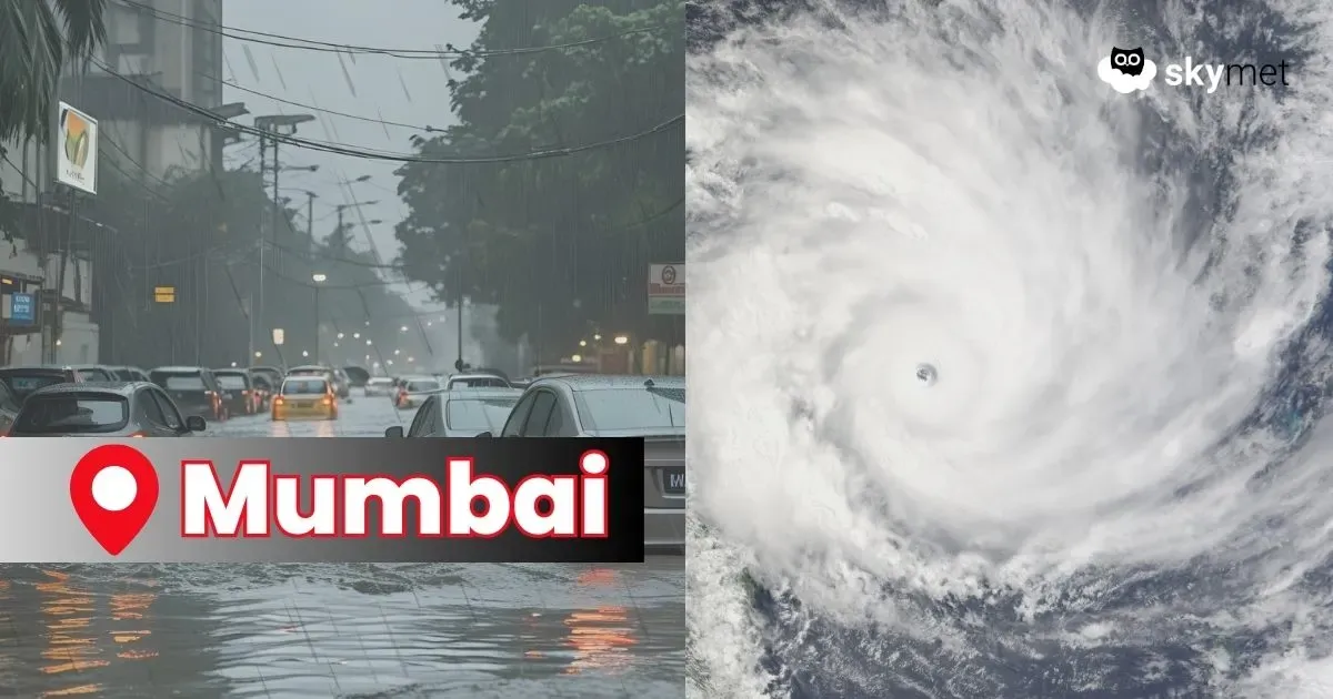
Vigorous monsoon activity drowned Mumbai last weekend and at the start of this week. The city observatory at Santacruz amassed 875 mm of rainfall over five days, between 15th and 19th August. This included three days with rainfall exceeding 200 mm each. The monthly total so far has reached 1026.5 mm, against a normal of 585.2 mm. Another wet spell may significantly add to this total before the end of the month.
Advertisement
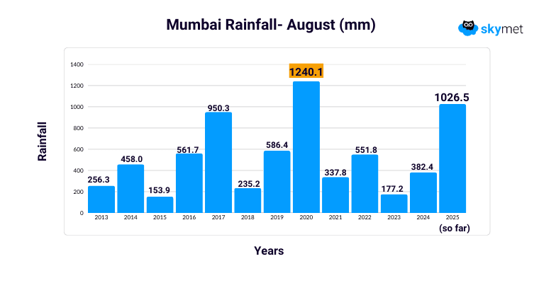
July, typically the rainiest month for Mumbai, fell short of its target this year. The city registered a total of 798.4 mm against the monthly average of 840.7 mm. This broke an impressive eight-year streak (2018 to 2024) where Mumbai consistently recorded over 1000 mm in July. The record highs of over 1700 mm were set in 2023 and 2024. In contrast, August had remained underwhelming over the past four years. From 2021 to 2024, the city recorded just 337.8 mm, 551.8 mm, 177.2 mm, and 382.4 mm respectively. The last notably heavy August was in 2020, with 1240.1 mm. This year, Mumbai appears poised to challenge the all-time August record of 1254 mm set in 1958.
Advertisement
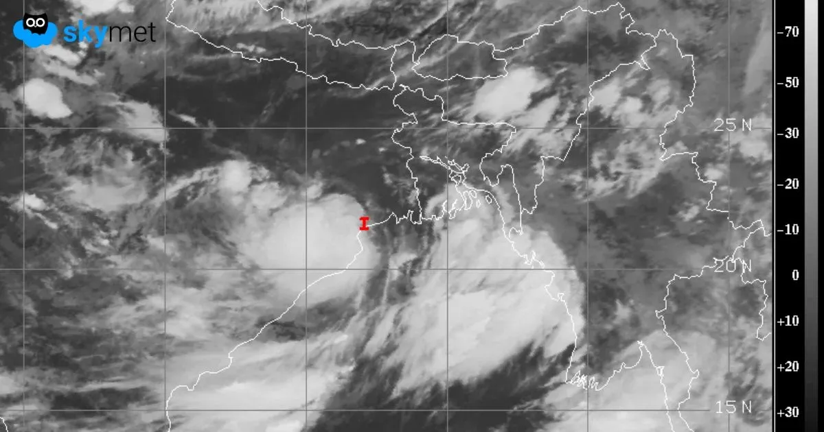
The weather system that triggered the deluge earlier this week has now moved away, shifting the heavy rainfall belt to Gujarat as of yesterday. A lean weather window is likely for Mumbai until the end of this week. Light to moderate showers, typical of the city, will continue between 21st and 24th August 2025.
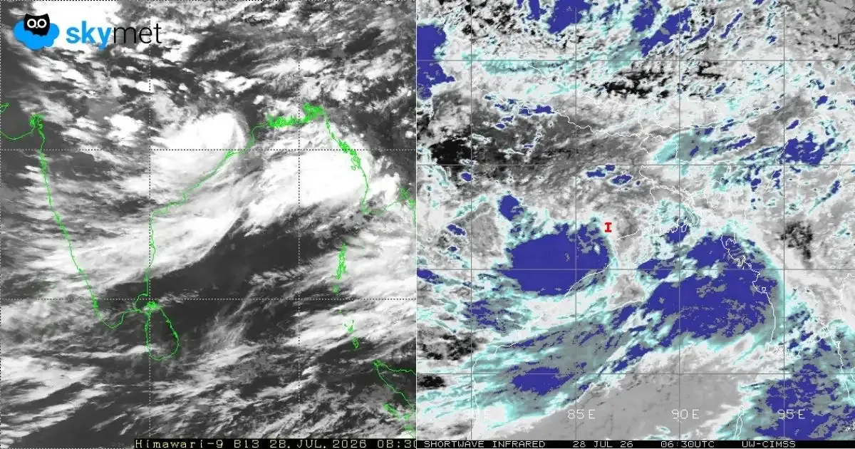
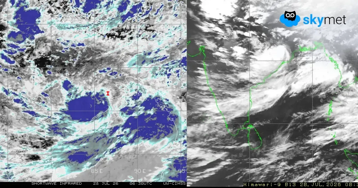
A fresh low-pressure area is expected to form over the Bay of Bengal at the start of next week, which will then move across central India. This, combined with the formation of a cyclonic circulation over South Rajasthan and West Madhya Pradesh around 25th August, will trigger a new surge in the westerly stream along the Konkan Coast. The interaction of these two systems is expected to bring a fresh wave of intense rainfall to the Konkan region — and especially to Mumbai — between 25th and 28th August.
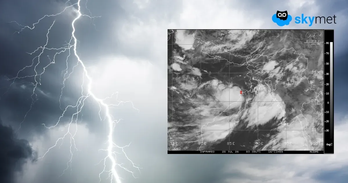
While this spell may not be as extreme as the previous one, it has the potential to bring over 100 mm of rain in 24 hours on a couple of days. Rain activity will begin on 25th August, peak between 26th and 27th, and start to taper off late on 28th August. Disruptions to normal life, especially to communication and connectivity, are likely during this period. Caution is advised.