Southwest Monsoon Lands Before Time Over Andaman Sea, Rapid Advancement Likely


Image: Canva
As on predicted lines, the southwest monsoon has entered the South Andaman Sea and Southeast Bay of Bengal (BoB).
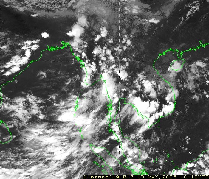
Image Courtesy: Himawari
The monsoon current has arrived almost a week in advance over the region. Earlier, there were heavy rains over the Nicobar Islands and South Coastal parts of Thailand. The northern limit of the monsoon passes through : just short of the southern tip of Sri Lanka, the extreme southeast BoB, the South Andaman Sea, halfway through the Andaman & Nicobar Islands, Hut Bay, and further on to the Gulf of Martaban.
Conditions are favorable for its further advancement over the Maldives-Comorin area, next to the Arabian Sea, and some more parts of the southern and central BoB over the next 3-4 days.
Cross-equatorial flow is likely to strengthen over southern and eastern parts of BoB. A perturbation as cyclonic circulation is likely to form over South-Central BoB around 16th May 2025. This will further enhance the strength and speed of the monsoon current. The advancement of the monsoon over Sri Lanka and central parts of the BoB may precede its normal date of 26th May. There are enough indications that the monsoon is likely to arrive over mainland Kerala before the scheduled date of 01st June. It may be the earliest arrival of monsoon since 2009.
Heavy to very heavy rainfall is likely over the South and North Andaman Sea. Also, the Andaman and Nicobar Islands, including Port Blair, are expected to have heavy rainfall for the next 3-4 days. The heavy rainfall belt will get closer to the central and southwest BoB, in the proximity of Sri Lanka and the Tamil Nadu Coast, during this period.
