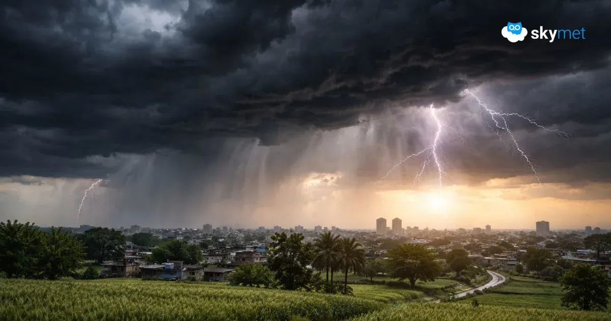
Fresh Low Pressure Area To Form Over Bay Of Bengal: Heavy Rainfall Over Eastern-Central-Western Parts

A cyclonic circulation is marked over the northeast Bay of Bengal (BoB) and the adjoining Myanmar coast. This is likely to move over the north BoB, and under its influence, a low-pressure area is expected to form over the region in the next 24 hours.
This system is expected to become more marked before it crosses the east coast. Further progression of this system will enhance monsoon activity over the eastern, central, and western parts of the country.
Delhi Rains: Rainy Week For Delhi, Moderate Showers Likely
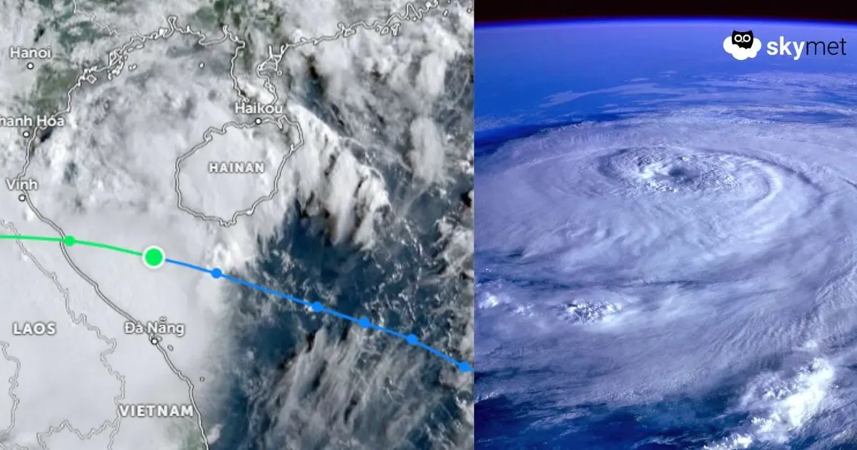
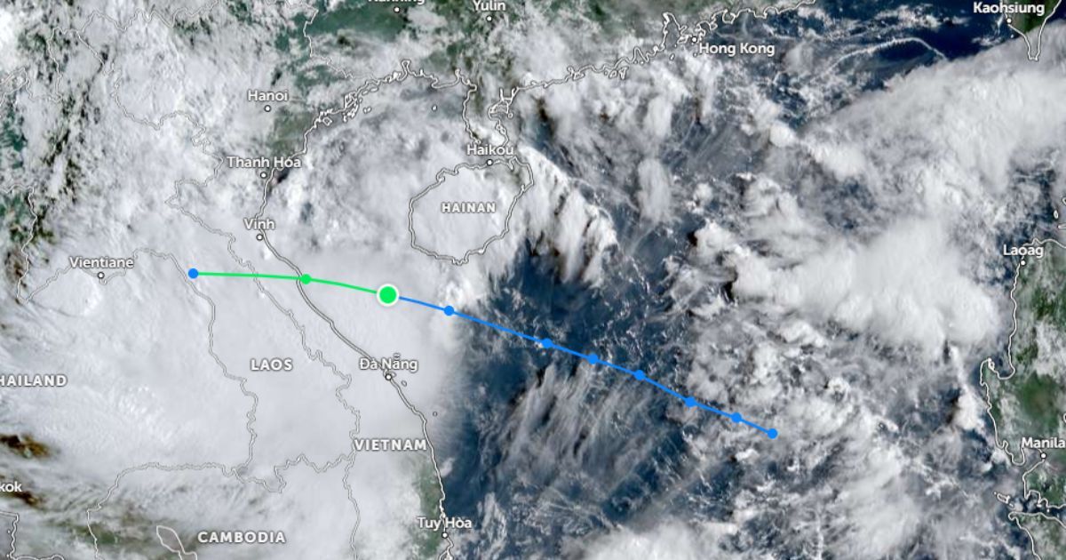
The cyclonic circulation over the northeast BoB is the remnant of tropical storm ‘Nongfa’ in the South China Sea. On weakening over the sea, south of the Chinese province of Hainan, the storm struck North Vietnam as a tropical depression on 30th August. It weakened further after landfall and moved across Laos, Thailand, and the interiors of Myanmar. The remnant of this system has entered the northeast BoB and will become a low-pressure area tomorrow.
Already, there is a cyclonic circulation persisting over the northwest BoB, off the Odisha coast. This feature will merge with the new cyclonic circulation and together will shape into a fresh monsoon system. The well-marked low-pressure system will cross the Odisha–West Bengal coast on 3rd September 2025. The weather system will have a lifespan of about six days, during which it will travel from the east coast to the west coast, across Odisha, Chhattisgarh, Madhya Pradesh, Maharashtra, Rajasthan, and Gujarat. The monsoon system will vacate the Indian region on 9th September. Active to vigorous monsoon conditions are likely over these states. However, rainfall activity will reduce substantially over the southern peninsula, covering Andhra Pradesh, Rayalaseema, Tamil Nadu, Karnataka, and Kerala. The weather activity will also be short-lived over Telangana, Vidarbha, and Marathwada. Since model accuracy drops after a lead time of 4–5 days, the forecast will be reviewed after the system moves inland.