

Week-Long Rainfall Activity Over Northeast India: Assam - Arunachal At Risk of Heavy Rainfall

Key Takeaways:
- Flood conditions in Assam have improved, but six districts remain submerged and over 4.45 lakh people are still affected.
- A deep depression over the Bay of Bengal is expected to revive heavy rainfall across Northeast India.
- Upper Assam, Arunachal Pradesh and the Brahmaputra Valley face the highest risk of fresh flooding.
- Heavy evening and night-time rainfall may hamper ongoing rescue and restoration operations.
- Forecast Validity: Next 3 to 5 days.
Advertisement
Northeast India has been reeling under severe floods for the last one week or so. Of late, the flood conditions in Assam have improved, with the affected population falling to 4.45 lakh, though six districts still remain under water. The most affected districts are Sivasagar, Golaghat, Charaideo, Jorhat, Nagaon and Kamrup. The worst-affected district is Charaideo, followed by Sivasagar and Jorhat, all in Upper Assam. Authorities are continuing rescue, relief and restoration efforts as the death toll remains at 68. The weather conditions had improved earlier, but they are likely to deteriorate yet again, making the task rather difficult.
Advertisement
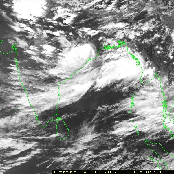
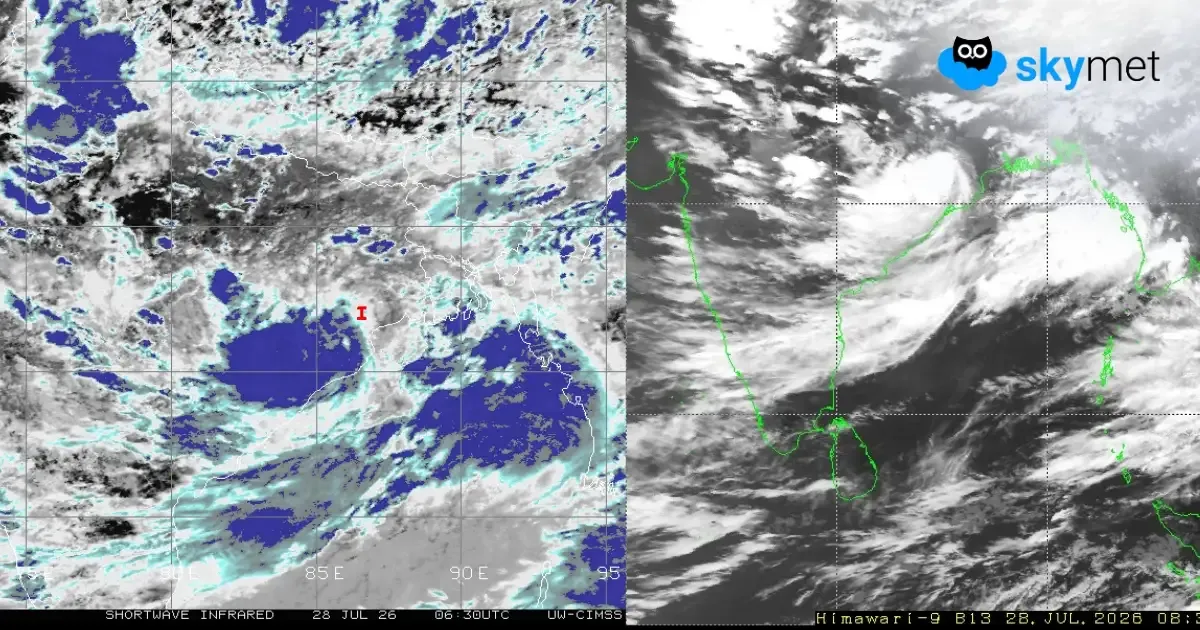
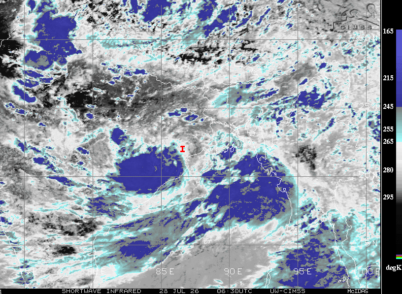
The deep depression over the Northwest Bay of Bengal has crossed the coast near Digha in West Bengal. It is a slow-moving weather system and will track west-northwest across Odisha, Jharkhand and Chhattisgarh. As usually happens with monsoon systems moving inland, the winds over the northeastern region in general, and the Assam Valley in particular, reverse direction from easterly to westerly. The southwesterly winds from the Bay of Bengal pump a lot of moisture over the region. The monsoon trough, as such, has a tendency to shift along the foothills of Northeast India. All these factors accentuate rainfall activity over the northeastern parts.
Normalcy is yet to be restored following the flood situation. The upcoming spell of bad weather may extend for a week over the entire region. To start with, the eastern parts of Arunachal Pradesh and Assam, and the states of Nagaland, Manipur and Mizoram, will experience inclement weather conditions. Later in the week, Upper Assam and the entire Arunachal Pradesh region will come under the grip of widespread rains. The mighty River Brahmaputra and its tributaries will have increased inflow as a result of rains in the catchment areas as well.
The threat of fresh floods may build up once again all along the Valley. To start with, Upper Assam will be at greater risk, covering districts such as Tinsukia, Dibrugarh, Charaideo, Sivasagar, Majuli, Lakhimpur, Golaghat, Jorhat, Tezpur, Nagaon, Dispur and Guwahati. The situation in Lower Assam may not become as severe as that in Upper Assam. Still, caution needs to be exercised for the districts of Dhubri, Kokrajhar, Goalpara, Bongaigaon, Barpeta, Nalbari and Kamrup.
As per the normal pattern, intense weather activity with rain, thundershowers and lightning takes place during the late evening, night and early morning hours. The forenoon and afternoon hours become slightly better than the rest for recovery operations.
Trending:



