
Monsoon 2019 continues to be on run and has further advanced into some more parts of Konkan, most parts of Madhya Maharashtra, remaining parts of Marathwada and Vidarbha, some parts of Madhya Pradesh, some more parts of Chhattisgarh & Uttar Pradesh and some parts of Uttarakhand.
The Northern Limit of Monsoon (NLM) is passing through Alibagh, Malegaon, Khandwa, Chindwara, Mandla, Pendra, Sultanpur, Lakhimpur Kheri and Mukteshwar.
Looking at the other weather systems across the country.
Our experts have to say that good rains would continue over Maharashtra as a Cyclonic Circulation is over North Madhya Maharashtra and Southwest Madhya Pradesh. We expect light to moderate rains with one or two heavy spells over Madhya Maharashtra, Konkan and Goa and as well as the western parts of Madhya Pradesh.
Monsoon is also likely to make onset over Mumbai city and will witness good rains. Whereas, light to moderate rains will be seen over parts of Gujarat with isolated chances over East Madhya Pradesh, Chhattisgarh, Vidarbha and Marathwada.
In Northeast, a Cyclonic Circulation is over Meghalaya and adjoining areas. Thus, humid winds from the Bay of Bengal are feeding moisture to the northeastern states of the country. Now, we expect rains to increase over entire Northeast India.
However, intensity of rains will be heavy to very heavy over Assam and Meghalaya. Sub-Himalayan West Bengal and Sikkim too would continue to witness good rains. Whereas, the intensity of rains will be subdued over Bihar, Jharkhand, Odisha and Gangetic West Bengal.
Down South, an off-shore trough is extending from Konkan and Goa to Kerala. Another trough is extending from North Madhya Maharashtra to Interior Karnataka. Thus, we expect light to moderate rains with one or two heavy spells over Coastal Karnataka and North Kerala. Places like Karwar, Honavar, Kannur and Kozhikode would get to see light to moderate rains.
Click the image below to see the live lightning and thunderstorm across India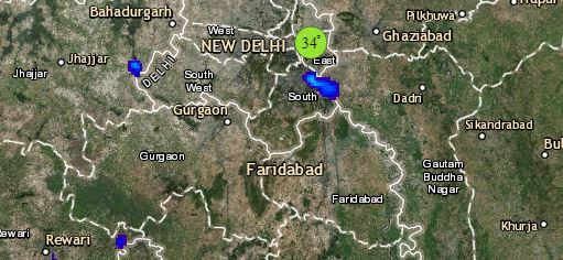
Along with this, scattered rains are also a possibility over North Interior Karnataka. Few places like South Interior Karnataka, Andhra Pradesh and Interior Tamil Nadu witness light rains with isolated spells in Telangana. Andaman and Nicobar Islands would continue to witness moderate to heavy rain and thundershowers.
At present, a Western Disturbance is over North Jammu and Kashmir and its induced Cyclonic Circulation is over Punjab and Haryana. Thus, light to moderate rain and thundershowers are expected at few places of Jammu and Kashmir, Himachal Pradesh and Uttarakhand. Whereas, one or two heavy spells are a possibility over Uttarakhand.
Dust storm activities with short spells of rain are also possible over parts of Punjab, Haryana, Delhi, West Uttar Pradesh and Rajasthan. Due to this, day temperatures are likely to fall by two to three degrees over the Northwestern Plains and many places including Delhi might witness temperatures below forty degrees.
Any information taken from here should be credited to skymetweather.com
