
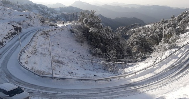
Rain and snowfall have lashed most parts of Ladakh, Kashmir Valley and higher posts of the Jammu division. Leh, Skardu, Muzaffrabad, Kargil and Gilgit in the Ladakh region have received moderate snow. Kashmir Valley, including Gulmarg, Pahalgam, Srinagar, Qazi Gund, and Banihal received moderate to heavy rain and snowfall. Interiors of Jammu division covering Bhaderwah, Kupwara, Poonch and Riasi also recorded moderate snow and rain. The weather activity started yesterday and is continuing.
Sonamarg and Gulmarg received heavy snowfall, yesterday. Pir Panjal range in the Poonch area and Gurez Valley in Bandipora district also witnessed fairly heavy snowfall. There is a deep layer of snow at Baltal, the camping site. Authorities have closed the Srinagar-Leh highway and the accumulated snow is getting cleared. Some of the arterial roads have also been affected and connectivity hampered. There is an apprehension of inclement weather conditions coming up over the lower and mid reaches of Kashmir Valley. Jammu-Srinagar highway also becomes vulnerable on account of landslides and heavy snow around Banihal, Ramban and Qazi Gund area.
An active western disturbance is camping over Jammu & Kashmir and Ladakh. The system will travel eastward across the states of Himachal Pradesh and Uttrakhand. Heavy to very heavy snowfall is expected today in the Kashmir and Jammu divisions. Similar conditions are likely for the state of Himachal Pradesh across popular snow spots of Manali, Kullu, Spiti, Chamba, Dalhousie and Khajjiar. The state of Uttrakhand also will receive rain and snow. Garhwal region will be more vulnerable than the Kumaon range of peaks. The weather activity will be severe between 19th and 21st Feb for all the mountain states of North India.
On account of landslides, rockslides and heavy snowfall, the connectivity will be hampered. Air connectivity also will be hit for flights to Srinagar and Leh. Heavy discharge of water from the water bodies and stormy conditions with lightning, thunderstorms and hailstorms in the area will further compound the severity of the weather. Caution needs to be exercised, till 21st Feb. The Remnant effect of the weather system will be lasting for the subsequent 48 hours.
Image Credit: ndtv
