
The northern parts of Jammu and Kashmir have been receiving rains and snow for the last five days. In fact, back to back Western Disturbances have been affecting the Western Himalayas. The recent one has given rains and snow over Jammu and Kashmir only.
Now, a fresh Western Disturbance is going to affect the western hills by the evening of March 10 i.e. on Tuesday. The impact of this Western Disturbance will be felt mainly over the plains of Northwest India. Only one or two places over the hills of Jammu and Kashmir might also receive rains and snow the same day.
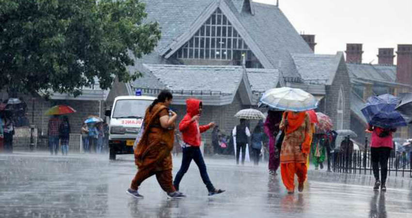
The rain intensity will increase from the evening of March 11. During that time, fairly widespread rain and snow is likely over Jammu and Kashmir, Himachal Pradesh, Ladakh and Uttarakhand.
These rains and snow will continue until March 15. Meanwhile, back to back Western Disturbances will approach the hills of Western Himalayas between these five days. Although the intensity of rains may vary from time to time, the weather will not go dry over the hills until March 15.
This can be one of the longest spells of rains and snow over the hills. The fresh snowfall may lead to avalanches in avalanche prone areas. Incidents of mudslides and landslides also cannot be ruled out.
So, we can say these rains and snow will extend the Winters over hills as well as Northern Plains.
Image Credits – The Indian Express
Any information taken from here should be credited to Skymet Weather
