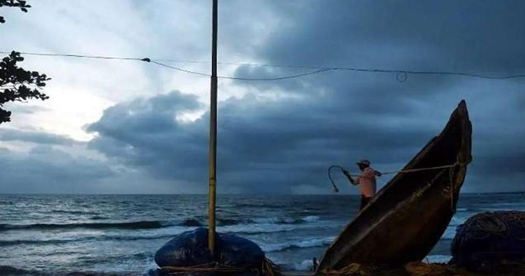
Bay of Bengal (BoB) is revving up and gearing up for 1st strong post monsoon system of season 2022. Initial indicators are powerful enough and promising vigorous oceanic state to churn out stormy conditions over this week. Mid- October and 2nd half, as such, offer conducive and favorable environment for cyclogenesis. Indian coastline on the eastern side becomes vulnerable for strikes of post monsoon disturbances.
Cyclonic circulation has emerged over Andaman Sea and neighborhood. An east-west oriented broad feature is extending up to South- Central BoB. It is expected to consolidate and reorganize, gather pace to turn in to low pressure area, anytime around with in next 48hr. As the weather system will be positioned rather deep in the ocean, it will encounter support of environmental conditions, so essential for sustenance and growth. Its rapid accentuation is anticipated and extended sea travel will further raise the heat potential.
Weather systems in the Bay of Bengal around this time are incubated with sudden and explosive bursts. The entire coastline from Tamil Nadu to West Bengal, across Andhra Pradesh and Odisha becomes vulnerable. Meanwhile, Andhra Pradesh and Odisha become more susceptible for direct strike and ensuing hazardous weather conditions.
Low pressure area, once formed, need to be observed closely. Opening systems of the season are more dubious and deceptive and therefore need to be watchfully tracked. Storms are known to defy the timelines, alter climatological tracks and violate intensity speculations. Still enough time for the coastal states to brace up and get in to preparatory mode.


