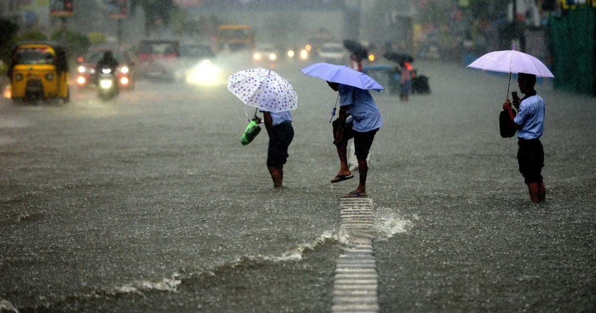
Very Severe Cyclonic Storm Yaas crossed Odisha coast south of Balasore and moved northwest to reach last posts of the state yesterday. Though the cyclone weakened gradually, it retained the storm status till night and bashed the interiors with heavy rains. Chief amounts of rainfall over northeast parts of Odisha were: Keonjhargarh 191mm, Sambalpur 55mm and Jharsuguda 46mm ending 8.30 am today morning. The storm weakened to a deep depression late in the night over northeast Odisha and South Jharkhand. This weather system is presently centered around 50km west-southwest of Jamshedpur. Also, it is likely to weaken to a depression shortly.
Most parts of Jharkhand and south Bihar received heavy rains in the evening and night. State capital Ranchi received 151mm, an all-time 24 hours highest rainfall and equalling the monthly total record of May 1959. Jamshedpur recorded 108mm, the highest 24 hours rainfall of the last 10 years. Parts of Bihar including the state capital Patna and Gaya measured 42mm and 21mm respectively.
The remnant of cyclone Yaas is not yet over and done with and more heavy rains accompanied with strong winds are expected in the next 24-48 hours over Jharkhand, Bihar, Odisha and West Bengal. Depression is expected to move slowly northeast and lash this area with unseasonal extended weather activity over the next 2 days. Light to moderate showers is also expected over North Chhattisgarh and East Uttar Pradesh in the next 24 hours. The cyclonic circulation of the system will persist over the weekend and move across Sikkim, sub-Himalayan West Bengal, and later over Assam and Meghalaya.


