
Presently, the Western Disturbance as an upper air system lies over North Pakistan and adjoining Jammu and Kashmir. This system is likely to move quickly away from Jammu and Kashmir during the next 24 hours. Due to the approach of Western Disturbance over the region, rainfall activities enhanced in the last 24 hours over Jammu and Kashmir and Himachal Pradesh wherein moderate spells of 23 mm were seen over Dharamshala. Whereas light rains have been recorded at many places of Banihal, Qazigund, Bhuntar, Kullu, Ludhiana, and Mukteshwar. Today as well these light rains will continue but mainly light-moderate rains over patchy areas would be a sight.
The easterlies are also prevailing in the lower levels and a Trough is extending from the Low-Pressure Area over the Northeast Arabian Sea across East Rajasthan and adjoining Haryana. Therefore, we expect patchy rains at some places of Punjab, Haryana, and Delhi during the next 24 hours. While light to moderate rains will be a sight over East Rajasthan and West Uttar Pradesh.
The activity is likely to reduce over the hills of North and Punjab after 24 hours, but patchy rains will continue in parts of Haryana, Delhi, and Northwest Uttar Pradesh.
The weather conditions over West Rajasthan will be dry and temperatures may even reach close to forty degrees. Places like Jaisalmer, Barmer, and Phalodi may witness a rise in mercury levels.
While capital Delhi will witness breezy mornings with slightly warm afternoon and patchy afternoon.
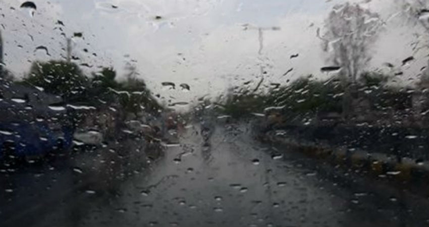
Image Credits – Free Press Journal
Any information taken from here should be credited to Skymet Weather
