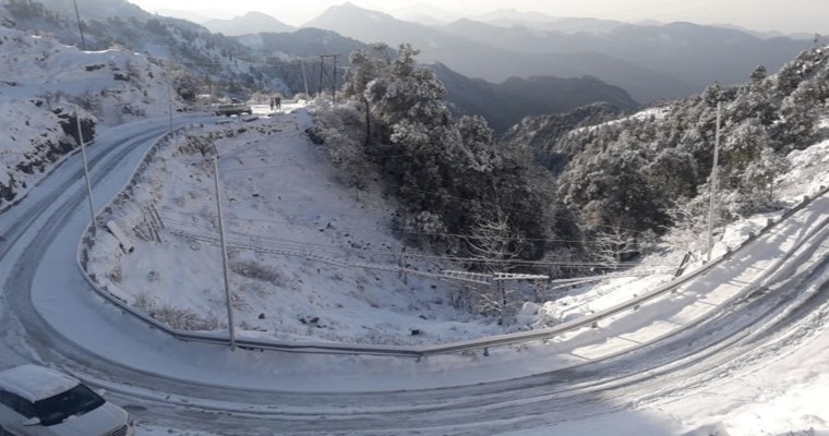
Welcome winter showers have started, both over the plains and mountains of North India. Srinagar, Banihal, Qazi Gund, Gulmarg, Pahalgam, Manali, Dalhousie, Dharamshala, and Shimla have received decent rains in the past 24 hours. Jammu, Samba, Pathankot, Amritsar, Ludhiana, Patiala, Chandigarh, Ambala, Ganganagar, and Churu have recorded light rainfall during this period. Rains will continue today and tomorrow over Punjab, Haryana, Chandigarh, Delhi, and Rajasthan. Snowfall is expected to commence anytime soon over the popular destinations of the northern mountains.
For snowfall to commence, the temperature in the lower layers of the atmosphere needs to cool down sufficiently for the raindrops to freeze. Rainfall during the past 24 hours has set the stage and the cooling process has started. Persistent and thick cloud cover is required to culminate into snow and it is likely today evening and night.
Western disturbance has arrived over the Western Himalayas and the induced cyclonic circulation is marked over Pakistan Punjab and border areas. Both weather systems are ideally aligned to trigger snow in the mountains and fairly widespread rain in the plains. Rain and thundershowers are likely to be accompanied with strong gusty winds. There are chances of hailstorm activity late in the day or night time, a few places. Lightening strikes will remain the highlights of the first winter rains over the plains of North India.
Heavy snowfall is likely over the lower ranges of mountains. Heavy rains are expected along the foothills of Jammu Division, Punjab and Haryana. Inclement weather conditions may disrupt the road and air connectivity. National highways and arterial roads may be blocked with heavy weather activity. Weather conditions will improve in the plains on 02nd Feb but another wet spell will follow on the 03rd and 04th Feb, albeit with lesser intensity and spread.


