
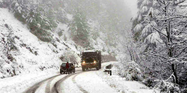
The hills of North India have been witnessing rain and snow on a continuous basis. The last 24 hours have also seen intense rain and snow activities over the hilly regions.
In the last 24 hours from 8:30 am on Monday, Shimla saw 30 mm of rains, Gulmarg 9.8 mm, Bhaderwah 9.6 mm, Sundernagar 23 mm, Manali 22 mm.
Now, the present Western Disturbance is moving away and a fresh Western Disturbance is over northern parts of Pakistan which will start giving light to moderate rain and snow by tomorrow.
Gradually, rainfall and snow spread along with intensity will increase and intense weather will cover most parts of Jammu and Kashmir, Himachal Pradesh and Uttarakhand by the evening hours of February 20. There is likely to be heavy snowfall on February 21. Thereafter, these systems will move eastwards.
By afternoon of February 22, rain and snowfall intensity will take a backseat. During that time, widespread landslides, and avalanches may also occur which are likely to cause blockage of roads. Maximum temperatures will see a drop when the system persists.
After the passage of this system, minimum temperatures will also see a significant fall. February 22 onward, northern plains will see a drop in temperatures as icy cold northerly winds will start blowing over the region.
Image Credit: ndtv
Please Note: Any information picked from here must be attributed to skymetweather.com
