
The state of Uttarakhand had not seen heavy rains for some time now. This could be attributed to the low pressure area which was persisting over Madhya Pradesh due to which the Monsoon trough had shifted southward.
However, during the last 24 hours, part of the axis of the Monsoon trough has shifted northward after the low pressure weakened into a cyclonic circulation. In fact, the cyclonic circulation has weakened and merged with the Monsoon trough itself.
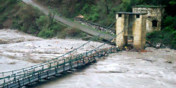
The trough has already shifted to the foothills, close to the state of Uttarakhand. Under such conditions, the state becomes vulnerable to heavy rainfall activities which has been the case in the past 24 hours. In fact, the whole state has witnessed rains during this time.
In the last 24 hours from 8:30 am on Thursday, Nainital recorded a whopping 78.5 mm of rains, Mussoorie has witnessed 66.3 mm of rains, Dehradun 25.9 mm of rainfall, Haridwar 28 mm, Joshimath 21.8 mm, Mukteshwar 19.2 mm, and Pantnagar 45 mm of rainfall.
Now also, rains will remain heavy to very heavy during the next 24 to 48 hours. In fact, the possibility of flooding rains in some parts of the state cannot be ruled out as well. Moreover, the threat of landslides and mudslides may occur in some parts. The state of Uttarakhand should remain on alert for at least the next three days in view of heavy showers.
Image Credit: wefornews.com
Please Note: Any information picked from here must be attributed to skymetweather.com
